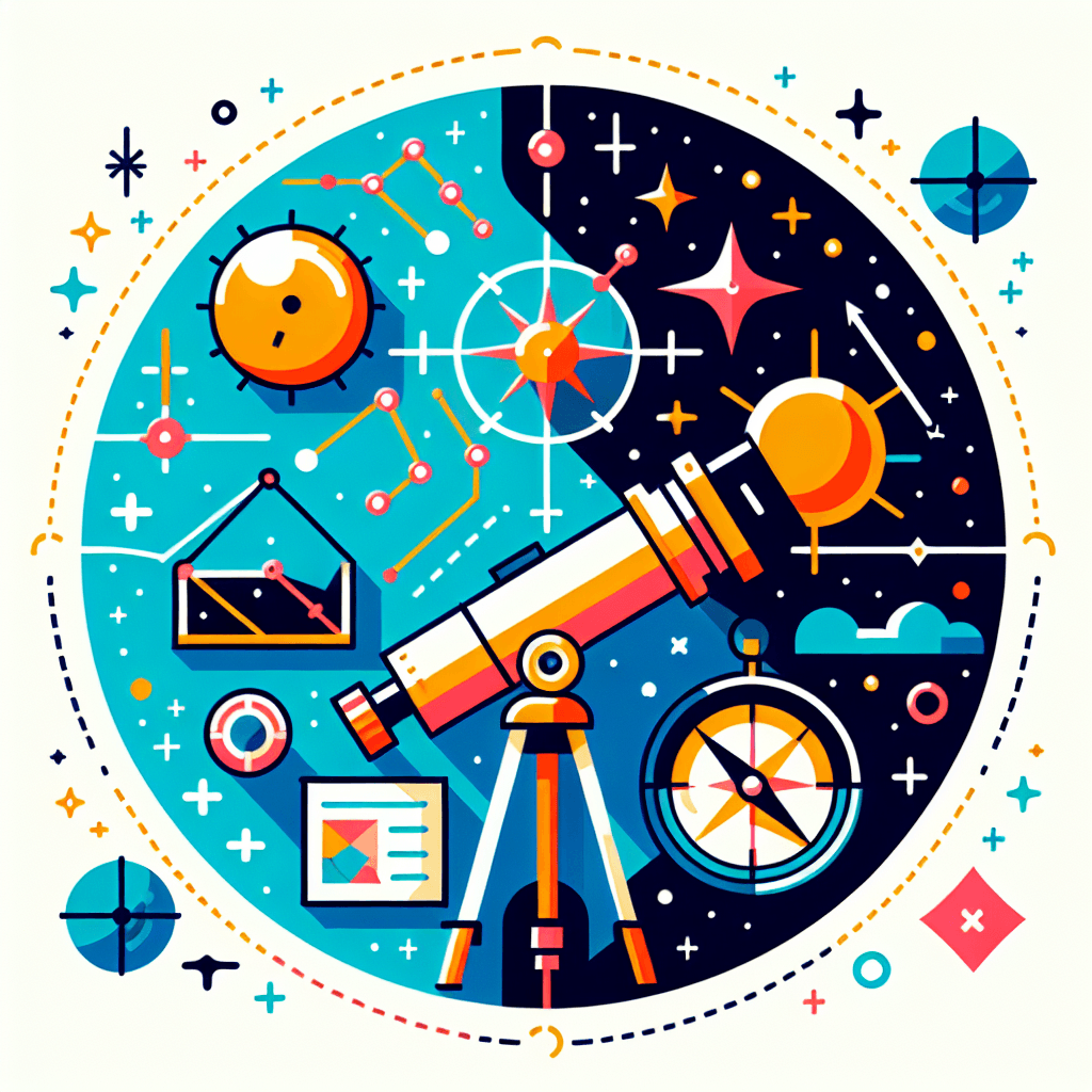
Charting the Heavens: The Mathematics of Celestial Navigation
Inquiry Framework
Question Framework
Driving Question
The overarching question that guides the entire project.How can we, as modern navigators, use the geometry of the stars and the movement of the sun to accurately determine our position on Earth and chart a course across a vast ocean without the use of modern technology?Essential Questions
Supporting questions that break down major concepts.- How can we determine our precise location on a vast, featureless ocean using only the geometry of the stars and the movement of the sun?
- How do the trigonometric relationships between a celestial body's altitude and the observer's horizon allow us to calculate latitude?
- In what ways does the Earth's rotation and orbital path create a 'celestial clock' that we can use to determine longitude and time?
- How can we translate three-dimensional celestial coordinates (Altitude/Azimuth) into two-dimensional geographic coordinates (Latitude/Longitude)?
- How do tool precision and human error impact the mathematical certainty of our calculated position, and how do navigators mitigate these risks?
- How does the concept of 'spherical geometry' change our understanding of distance and direction compared to the flat-plane geometry we use in daily life?
Standards & Learning Goals
Learning Goals
By the end of this project, students will be able to:- Calculate latitude by applying right-triangle trigonometry to the measured altitude of Polaris or the Sun at local noon.
- Differentiate between 3D celestial coordinate systems (Altitude/Azimuth) and 2D geographic systems (Latitude/Longitude) through mathematical transformations.
- Analyze the impact of instrumental precision and human error on navigational accuracy using statistical reasoning.
- Explain the relationship between the Earth's rotation, orbital tilt, and the apparent seasonal and diurnal motion of celestial bodies.
- Apply concepts of spherical geometry to determine the shortest distance (great circles) and direction between two points on the Earth's surface.
Common Core State Standards for Mathematics (Geometry)
Next Generation Science Standards (NGSS)
Entry Events
Events that will be used to introduce the project to studentsOperation: Midnight Rescue
A search-and-rescue expert challenges the class to locate a hiker missing in a 'dead zone' where GPS signals are blocked by terrain. Provided only with a grainy photo the hiker took of the night sky before disappearing, students must use celestial triangulation and angular math to provide the exact coordinates for a rescue helicopter.The Great Satellite Silence
Students enter a classroom to a simulated emergency broadcast announcing a global GPS failure caused by a solar storm. Functioning as the 'Emergency Navigation Team,' students must use a DIY sextant and the current night sky to plot a course for a stranded hospital ship, realizing that the world's supply chain now rests on their ability to do math by the stars.Portfolio Activities
Portfolio Activities
These activities progressively build towards your learning goals, with each submission contributing to the student's final portfolio.Mapping the Cosmic Dome: The Celestial Sphere Model
Before heading out to sea (metaphorically), students must understand the 'map' of the sky. In this activity, students will create a 3D physical or digital model of the Celestial Sphere. They will identify the relationship between an observer's location on Earth (Latitude/Longitude) and the apparent position of stars (Altitude/Azimuth). Using Stellarium Web for data, they will map the 'Zenith', the 'Horizon', and the 'Celestial Equator' to visualize how the sky changes based on where you stand on the planet.Steps
Here is some basic scaffolding to help students complete the activity.Final Product
What students will submit as the final product of the activityA labeled 3D Celestial Sphere model (physical or digital) accompanied by a 'Navigator’s Key' explaining the difference between the Alt-Az and Equatorial coordinate systems.Alignment
How this activity aligns with the learning objectives & standardsAligns with HSG.MG.A.1 (Use geometric shapes, their measures, and their properties to describe objects). This activity requires students to visualize and model the Earth and the sky as concentric spheres to understand coordinate systems.Precision Optics: Engineering the Navigator's Eye
A navigator is only as good as their tools. In this activity, students will apply physics and geometry to build a functional 'DIY Sextant' (a clinometer). They will learn the 'Double Reflection' principle that allows a real sextant to bring the star down to the horizon. Students will calibrate their tools using known angles and write a technical brief on how the device uses the interaction of light and mirrors to capture precise data.Steps
Here is some basic scaffolding to help students complete the activity.Final Product
What students will submit as the final product of the activityA functional, calibrated DIY Sextant and a technical 'Spec Sheet' explaining the physics of its operation and its margin of error.Alignment
How this activity aligns with the learning objectives & standardsAligns with HS-PS4-5 (Communicate technical information about how devices use the principles of wave behavior to capture information). Students explore the laws of reflection and optical angles to understand how a sextant measures the altitude of a star.The North Star Challenge: Calculating Latitude
Now it is time to find 'Where' we are. Students will use their DIY sextants to measure the altitude of Polaris (the North Star). Because Polaris is almost directly above the North Pole, its angle above the horizon is nearly equal to the observer's latitude. Students will use right-triangle trigonometry to prove this mathematical relationship and calculate their precise latitude, adjusting for the 'index error' of their handmade tools.Steps
Here is some basic scaffolding to help students complete the activity.Final Product
What students will submit as the final product of the activityA 'Latitude Discovery Log' containing recorded measurements, trigonometric proofs, and the final calculated latitude of the school/home.Alignment
How this activity aligns with the learning objectives & standardsAligns with HSG.SRT.C.8 (Use trigonometric ratios to solve right triangles in applied problems). Students use the measured altitude of Polaris to solve for their latitude, representing the problem as a right triangle.The Solar Chronometer: Solving for Longitude
Latitude is easy, but longitude requires a clock. Students will simulate the 'Longitude Prize' challenge. They will track the 'Local Noon' (the moment the sun is at its highest point) and compare it to 'Prime Meridian Time' (GMT). Since the Earth rotates 15 degrees every hour, students will use this ratio to calculate how far east or west they are from the Prime Meridian. They will also explore the 'Equation of Time' to understand why the sun isn't always exactly on time.Steps
Here is some basic scaffolding to help students complete the activity.Final Product
What students will submit as the final product of the activityA 'Global Position Report' showing the step-by-step mathematical conversion of time-delta into degrees of longitude.Alignment
How this activity aligns with the learning objectives & standardsAligns with HS-ESS1-4 (Use mathematical representations to predict the motion of orbiting objects). Students must account for the Earth's 15-degree-per-hour rotation to convert time differences into longitudinal degrees.The Great Circle: Pathfinding across the Sphere
In the final capstone activity, students are given a destination on the other side of the world. They must realize that on a sphere, the shortest distance is not a straight line on a flat map, but a 'Great Circle' route. Students will use their knowledge of spherical geometry and trigonometry to plot a course, calculate the total distance, and determine the 'Initial Bearing' (direction) they must sail to reach their target.Steps
Here is some basic scaffolding to help students complete the activity.Final Product
What students will submit as the final product of the activityA Master Navigator’s Chart featuring a plotted Great Circle route, distance calculations, and a reflection on how human error in measurement could lead to being 'lost at sea.'Alignment
How this activity aligns with the learning objectives & standardsAligns with HSG.MG.A.3 (Apply geometric methods to solve design problems/constraints). Students apply spherical geometry concepts to determine the shortest path (Great Circle) between two points on a globe.Rubric & Reflection
Portfolio Rubric
Grading criteria for assessing the overall project portfolioThe Master Navigator: Celestial Navigation Portfolio Rubric
Geometric Modeling & Visualization
Evaluates the student's ability to visualize and model the Earth and sky as geometric objects (HSG.MG.A.1, HSG.MG.A.3).Celestial Sphere Modeling
Ability to create and explain a 3D model of the celestial sphere, identifying key markers (Zenith, Horizon, Celestial Equator) and translating between coordinate systems.
Exemplary
4 PointsConstructs a highly accurate 3D model (physical or digital) that expertly integrates celestial and geographic grids; provides a sophisticated Navigator’s Key explaining the mathematical relationship between Alt-Az and Equatorial systems.
Proficient
3 PointsConstructs a clear 3D model with correctly labeled Zenith, Horizon, and Celestial Equator; Navigator’s Key explains the differences between coordinate systems accurately.
Developing
2 PointsConstructs a basic model with most markers identified; explanation of coordinate systems is partially correct but may confuse certain relationships.
Beginning
1 PointsModel is incomplete or contains significant inaccuracies in the placement of celestial markers; explanation of coordinate systems is missing or incorrect.
Spherical Navigation & Pathfinding
Application of spherical geometry to determine shortest paths (Great Circles) and understanding the constraints of 2D map projections.
Exemplary
4 PointsMasterfully calculates Great Circle distance using the Haversine formula; provides a deep reflection on why spherical geometry is necessary for global navigation versus flat-map geometry.
Proficient
3 PointsCorrectly calculates Great Circle distance and identifies the difference between a Rhumb Line and a Great Circle route on a globe.
Developing
2 PointsAttempts distance calculations with some errors; identifies the Great Circle path but struggles to explain the geometric necessity for the curve.
Beginning
1 PointsUnable to differentiate between path types or complete distance calculations; limited understanding of spherical geometry.
Mathematical Computation & Proof
Focuses on the application of CCSS Math standards for solving right triangles and using mathematical representations of motion (HSG.SRT.C.8, HS-ESS1-4).Trigonometric Latitude Determination
Ability to use right-triangle trigonometry to calculate latitude based on the altitude of Polaris or the Sun.
Exemplary
4 PointsProvides a flawless geometric proof that Altitude = Latitude; applies trigonometric ratios with high precision; accounts for index error and environmental variables.
Proficient
3 PointsAccurately calculates latitude using trigonometric ratios and explains the geometric relationship between the observer's horizon and the North Celestial Pole.
Developing
2 PointsCalculates latitude with minor mathematical errors; shows an emerging understanding of the right-triangle relationships involved.
Beginning
1 PointsSignificant errors in trigonometric application; unable to relate measured altitude to geographic latitude.
Temporal & Longitudinal Math
Ability to use the Earth's rotation (15 degrees/hour) and temporal differences to solve for longitudinal position.
Exemplary
4 PointsPerforms complex temporal-to-longitudinal conversions; expertly incorporates the 'Equation of Time' and orbital variations into the final calculation.
Proficient
3 PointsCorrectly uses the 15-degree/hour constant to convert the time difference from Prime Meridian Time into accurate degrees of longitude.
Developing
2 PointsCalculates longitude but fails to account for minutes/seconds of time or shows inconsistency in the conversion ratio.
Beginning
1 PointsUnable to translate time differences into spatial degrees; fails to understand the relationship between rotation and longitude.
Engineering & Physics of Tools
Evaluates the ability to communicate technical information about devices and wave behavior (HS-PS4-5).Instrument Engineering & Calibration
Engineering a functional clinometer/sextant and articulating the physics of light and reflection used in the tool.
Exemplary
4 PointsProduces an exceptionally calibrated tool with a professional-grade technical spec sheet explaining the 'Double Reflection' principle and a detailed statistical margin of error.
Proficient
3 PointsProduces a functional, calibrated DIY sextant; technical spec sheet clearly communicates how light and mirrors are used to capture data.
Developing
2 PointsProduces a tool that is partially functional; technical explanation of light behavior is basic or missing key details.
Beginning
1 PointsTool is non-functional or uncalibrated; unable to explain the physical principles of the device's operation.
Synthesis & Growth Mindset
Focuses on the navigator's ability to synthesize data and account for real-world variables.Analysis of Error & Precision
The ability to assess the impact of human error, tool precision, and environmental variables on the final navigational fix.
Exemplary
4 PointsProvides a comprehensive analysis of cumulative error; proposes sophisticated mitigation strategies (e.g., mean readings, index correction) to ensure navigational safety.
Proficient
3 PointsCorrectly identifies potential sources of error in measurements and uses averages/calibration to improve the accuracy of the final position.
Developing
2 PointsIdentifies that error exists but lacks a systematic approach to quantifying or mitigating its impact on the mathematical result.
Beginning
1 PointsDoes not account for error; treats all measurements as absolute despite obvious tool or human limitations.