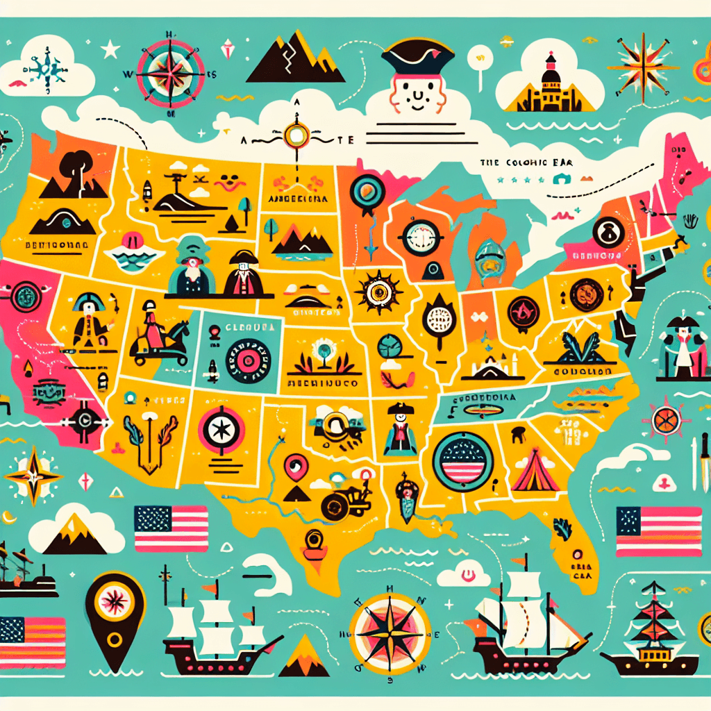
Create Interactive Maps of the 13 Colonies
Inquiry Framework
Question Framework
Driving Question
The overarching question that guides the entire project.How can the design of interactive maps illuminate the influence of geographic features on the settlement, economic activities, and cultural developments in the 13 Colonies, while effectively communicating historical nuances?Essential Questions
Supporting questions that break down major concepts.- What geographic features were present in the 13 Colonies, and how did they influence settlement patterns?
- How did the geographic layout and natural resources of the 13 Colonies impact the economic activities in each region?
- What role did geographic features play in the historical events that occurred in the 13 Colonies?
- How can interactive maps effectively communicate historical and geographic information about the 13 Colonies?
- In what ways did the geography of the 13 Colonies contribute to cultural and social developments in these regions?
Standards & Learning Goals
Learning Goals
By the end of this project, students will be able to:- Students will understand how geographic features influenced settlement patterns in the 13 Colonies.
- Students will learn to analyze the impact of the geographic layout and natural resources on the economic activities in each colony.
- Students will explore the role of geographic features in historical events within the 13 Colonies.
- Students will develop skills in creating interactive maps that effectively communicate historical and geographic information.
- Students will assess how the geography of the colonies contributed to cultural and social developments.
Common Core Standards
C3 Framework for Social Studies State Standards
Entry Events
Events that will be used to introduce the project to studentsMystery Artifact Discovery
Students are presented with a mysterious artifact purportedly from one of the 13 Colonies, without any initial context or explanations. Their task is to hypothesize its origin and use, sparking curiosity about the daily life and geography of the that colony.Portfolio Activities
Portfolio Activities
These activities progressively build towards your learning goals, with each submission contributing to the student's final portfolio.Artifact Hypothesis Challenge
Students hypothesize about the origin and use of a mysterious artifact from one of the 13 Colonies, which ignites their curiosity about the colony's culture and geography. This activity lays the groundwork for researching and understanding the historical context of the colonies.Steps
Here is some basic scaffolding to help students complete the activity.Final Product
What students will submit as the final product of the activityA written hypothesis and evidence portfolio proposing the artifact's origin and use.Alignment
How this activity aligns with the learning objectives & standardsAligns with D2.His.1.6-8 by requiring students to connect events and developments in the historical context of the 13 Colonies.Geography Detective: Colony Exploration Guide
In this activity, students delve into the geographic features of a selected colony, setting the foundation for their later map-making task. They will explore how these features influenced settlement patterns and economic activities.Steps
Here is some basic scaffolding to help students complete the activity.Final Product
What students will submit as the final product of the activityA comprehensive report detailing the geographic features and their influence on the settlement and development of the selected colony.Alignment
How this activity aligns with the learning objectives & standardsCovers standards CCSS.ELA-LITERACY.RH.6-8.7 and D2.Geo.3.6-8 by integrating visual information with textual data and using geographic tools.Interactive Map Pre-design Sketch
Before creating an interactive map, students sketch a preliminary design that visualizes the geographic and historical data of their selected colony. This step helps in organizing information and visual elements for the final digital map.Steps
Here is some basic scaffolding to help students complete the activity.Final Product
What students will submit as the final product of the activityA detailed sketch plan of an interactive map featuring the 13 Colonies' geographic and historical elements.Alignment
How this activity aligns with the learning objectives & standardsAligns with CCSS.ELA-LITERACY.RH.6-8.7 by planning the integration of visual elements into the map design.Interactive Colony Map Creation
Students bring their sketches to life by creating digital interactive maps detailing the geographic features and historical context of the 13 Colonies. These maps will allow users to explore and interact with the historic and geographic elements creatively.Steps
Here is some basic scaffolding to help students complete the activity.Final Product
What students will submit as the final product of the activityAn interactive digital map showcasing the settlement patterns, economic activities, and cultural developments influenced by geographic features of the 13 Colonies.Alignment
How this activity aligns with the learning objectives & standardsMeets CCSS.ELA-LITERACY.RH.6-8.7 and D2.Geo.3.6-8 by utilizing geographic tools and integrating multimedia to convey historical and geographic contexts.Rubric & Reflection
Portfolio Rubric
Grading criteria for assessing the overall project portfolioInteractive Colony Map and Artifact Development Rubric
Historical and Geographic Analysis
This category assesses the understanding and analysis of historical and geographic information regarding the 13 Colonies.Understanding of Geographic Features
Evaluation of the student's ability to identify and explain significant geographic features of the 13 Colonies and how these influenced settlement and development.
Exemplary
4 PointsThoroughly explains geographic features with insightful connections to settlement and development patterns, demonstrating sophistication in understanding.
Proficient
3 PointsClearly identifies and explains most geographic features with logical connections to settlement and development.
Developing
2 PointsIdentifies some geographic features with basic connections to settlement and development, but with inconsistencies.
Beginning
1 PointsStruggles to identify geographic features and does not clearly connect them to settlement or development patterns.
Historical Context Integration
Assessment of how well the student connects geographic features with historical events and cultural developments in the 13 Colonies.
Exemplary
4 PointsSkillfully integrates geographic and historical contexts with comprehensive insights into cultural developments and historical events.
Proficient
3 PointsEffectively connects geographic features with historical events, providing clear insights into their interactions.
Developing
2 PointsMakes some connections between geographic features and historical events, but lacks depth in analysis.
Beginning
1 PointsMinimal connection between geographic features and historical events, with little analytical depth.
Critical Thinking and Creativity
This domain evaluates the application of critical thinking and creative abilities in developing hypotheses and designing interactive elements.Artifact Hypothesis Development
Assesses the ability to develop well-supported hypotheses regarding the use and origin of artifacts from the 13 Colonies.
Exemplary
4 PointsDevelops a highly convincing hypothesis with robust supporting evidence and creative insights into the artifact’s utility.
Proficient
3 PointsFormulates a plausible hypothesis with adequate supporting evidence and some creative insights.
Developing
2 PointsPresents a basic hypothesis with some supporting evidence but lacks creativity and depth in explanation.
Beginning
1 PointsProvides a rudimentary hypothesis lacking convincing evidence or creative insights.
Interactive Design Creativity
Assess the creativity and effectiveness of the map design in integrating multimodal elements to convey information.
Exemplary
4 PointsCreates an exceptionally engaging map with innovative use of multimodal elements that enhance understanding.
Proficient
3 PointsDesigns a visually appealing map with appropriate multimodal elements that support understanding.
Developing
2 PointsProduces a basic map with some multimodal elements, but lacks full integration or creativity.
Beginning
1 PointsPresents a simplistic map with limited or ineffective use of multimodal elements.
Technical Skill and Execution
Evaluation of the effective use of digital tools, accuracy, and quality of final products.Digital Tool Proficiency
Focuses on the student's ability to proficiently use digital tools to create interactive maps.
Exemplary
4 PointsDemonstrates advanced proficiency in digital tools, resulting in a seamless and professional-quality interactive map.
Proficient
3 PointsShows competent use of digital tools to create an effective and functional interactive map.
Developing
2 PointsUses digital tools with basic proficiency, resulting in a functional but flawed interactive map.
Beginning
1 PointsStruggles with digital tool use, leading to an incomplete or non-functional interactive map.
Collaboration and Feedback Incorporation
Assesses the student's ability to collaborate with peers and integrate feedback into their projects.Peer Collaboration
Evaluates the effectiveness of the student's collaboration with peers during project development.
Exemplary
4 PointsExhibits leadership and excellent collaboration skills, actively contributing ideas and enhancing group dynamics.
Proficient
3 PointsParticipates effectively in group discussions, contributing to the development of ideas and projects.
Developing
2 PointsParticipates in group activities but with limited contributions and minimal influence on group outcomes.
Beginning
1 PointsRarely participates in group activities, relying heavily on others' contributions.