Designing Solutions for Climate and Natural Disaster Protection
Inquiry Framework
Question Framework
Driving Question
The overarching question that guides the entire project.How can we, as young scientists, design innovative solutions using evidence from fossils, understanding of weathering and erosion, and topographic maps to protect our communities from the impacts of climate change and natural disasters?Essential Questions
Supporting questions that break down major concepts.- What evidence can we find in rock formations and fossils that tell us how landscapes have changed over time?
- How do weathering and erosion shape the Earth's surface, and what can they teach us about climate change?
- How can reading and interpreting topographic maps help us understand patterns and changes in Earth's features?
- What are the different natural energy resources, and how do their usage impact the environment and climate?
- What innovative solutions can we develop to reduce the impacts of natural disasters like floods and hurricanes?
Standards & Learning Goals
Learning Goals
By the end of this project, students will be able to:- Students will identify and interpret evidence from rock formations and fossils to explain landscape changes over time.
- Students will make observations and measurements to understand the effects and rates of weathering and erosion.
- Students will learn to analyze and interpret topographic maps to describe Earth's features and changes.
- Students will explore natural energy resources and understand their environmental impacts.
- Students will design and compare innovative solutions to reduce the impact of natural disasters and climate change on communities.
Next Generation Science Standards
Entry Events
Events that will be used to introduce the project to studentsFlood-Proof Your Town
Students start by viewing a virtual reality experience of a famous flood in history (e.g., Hurricane Katrina). This immersive beginning captures their attention and sets the stage for investigating how communities can be designed to be flood-resistant, aligning with their project goal of innovative design.Portfolio Activities
Portfolio Activities
These activities progressively build towards your learning goals, with each submission contributing to the student's final portfolio.Fossil Detective Adventure
Students embark on a mission to uncover the stories hidden in fossils and rock formations. By examining these natural archives, they learn to interpret changes in landscapes over time, crucial for understanding long-term climate impacts.Steps
Here is some basic scaffolding to help students complete the activity.Final Product
What students will submit as the final product of the activityA group presentation explaining how certain fossils and rock formations indicate historical landscape changes.Alignment
How this activity aligns with the learning objectives & standardsAligns with 4-ESS1-1 by enabling students to identify evidence from patterns in rock formations and fossils to explain landscape changes over time.Weathering Wizards Workshop
Students become 'weathering wizards,' observing firsthand how weathering and erosion shape and alter the Earth's surface.Steps
Here is some basic scaffolding to help students complete the activity.Final Product
What students will submit as the final product of the activityExperimental reports detailing observations and analyses of weathering and erosion effects.Alignment
How this activity aligns with the learning objectives & standardsCovers 4-ESS2-1 as students make observations and provide evidence of weathering and erosion effects.Topographic Trail Blazers
Students become trailblazers who explore and interpret topographic maps to understand Earth's feature patterns and changes.Steps
Here is some basic scaffolding to help students complete the activity.Final Product
What students will submit as the final product of the activityStudent-created topographic map and a descriptive report identifying patterns and features from the map analysis.Alignment
How this activity aligns with the learning objectives & standardsSupports 4-ESS2-2 by having students analyze and interpret map data to describe Earth's feature patterns.Natural Energy Explorers
Students embark on an exploration to discover different natural energy resources, analyzing their uses and impacts on the environment.Steps
Here is some basic scaffolding to help students complete the activity.Final Product
What students will submit as the final product of the activityVisual presentation analyzing a specific natural energy resource and its impact on the environment.Alignment
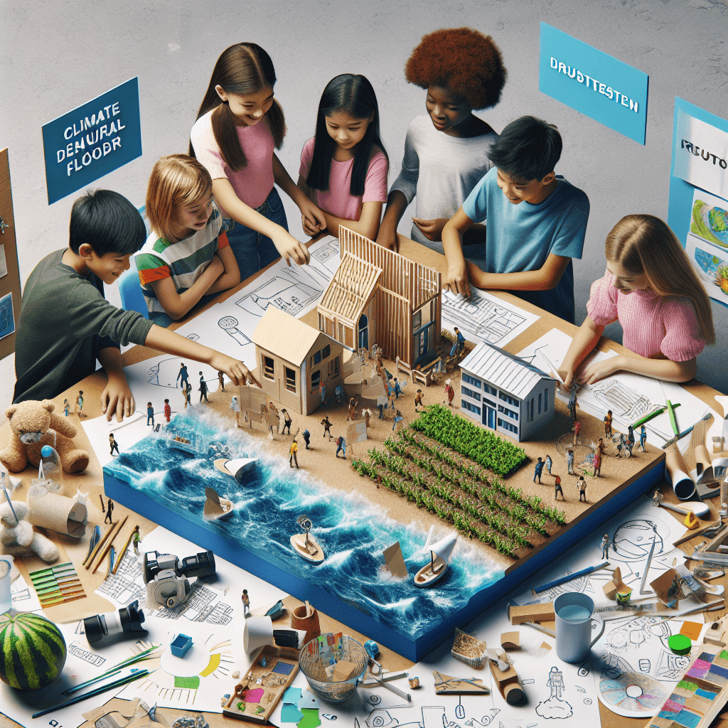
How this activity aligns with the learning objectives & standardsAddresses 4-ESS3-1 by having students obtain and combine information about natural energy resources and their environmental impacts.Disaster Design Challenge
In this ultimate challenge, students apply their cumulative knowledge to design innovative solutions to protect communities from natural disasters.Steps
Here is some basic scaffolding to help students complete the activity.Final Product
What students will submit as the final product of the activityDesign plans or models showcasing innovative solutions for reducing the impacts of natural disasters.Alignment
How this activity aligns with the learning objectives & standardsFulfills 4-ESS3-2 by having students generate and compare multiple solutions to climate change and natural disaster impacts.Rubric & Reflection
Portfolio Rubric
Grading criteria for assessing the overall project portfolioEarth's Systems and Climate Change Solutions
Scientific Understanding and Application
Evaluates students' grasp of scientific content related to fossils, weathering, erosion, topographic maps, and energy resources and how they apply this knowledge to address real-world problems.Understanding of Fossils and Rock Formations
Measures ability to identify and interpret evidence from rock formations and fossils to explain landscape changes.
Exemplary
4 PointsDemonstrates deep understanding by identifying multiple examples from fossils and rock formations, clearly explaining their implication on historical landscape changes with evidence-based reasoning.
Proficient
3 PointsIdentifies clear examples from fossils and rock formations and explains their implications for historical landscapes with solid reasoning.
Developing
2 PointsIdentifies basic examples from fossils and rock formations with simplistic explanations on landscape changes.
Beginning
1 PointsStruggles to identify examples from fossils and rock formations and provides incomplete or inaccurate explanations.
Analysis of Weathering and Erosion Processes
Assesses the interpretation of weathering and erosion experiments and their effects on Earth's surface.
Exemplary
4 PointsAnalyzes experimental data expertly, providing comprehensive insights into weathering and erosion's effects on various materials, using scientific language and concepts.
Proficient
3 PointsCorrectly interprets experimental data, offering a clear explanation of weathering and erosion effects.
Developing
2 PointsDescribes observed effects with basic interpretation, lacking depth in analysis.
Beginning
1 PointsStruggles to interpret experimental data, providing unclear or inaccurate explanations.
Interpretation of Topographic Maps
Evaluates the ability to analyze and create topographic maps, identifying Earth's feature patterns.
Exemplary
4 PointsOffers sophisticated analysis of topographic maps, accurately identifying features and patterns, and creates detailed, accurate maps.
Proficient
3 PointsAnalyzes topographic maps effectively, accurately identifying features and patterns, and creates functional maps.
Developing
2 PointsShows basic ability to identify features in topographic maps and creates simple maps.
Beginning
1 PointsStruggles to interpret and construct topographic maps with accuracy.
Evaluation of Natural Energy Resources
Assesses the ability to evaluate environmental impacts of various energy resources and propose solutions.
Exemplary
4 PointsEvaluates multiple energy resources, offering comprehensive insights and innovative solutions to minimize environmental impacts.
Proficient
3 PointsCorrectly evaluates energy resources with clear solutions to minimize impacts.
Developing
2 PointsShows basic understanding of energy resources with limited solutions proposed.
Beginning
1 PointsStruggles to evaluate energy resources or propose viable solutions.
Innovative Design and Problem Solving
Focuses on creativity and innovation in developing solutions for climate change and natural disaster impacts.Solution Development and Innovation
Measures the ability to generate and compare multiple effective solutions to climate and natural disaster challenges.
Exemplary
4 PointsPresents innovative solutions with thorough comparison and evaluation, integrating advanced concepts from prior learnings.
Proficient
3 PointsGenerates viable solutions with comparative analysis using evidence.
Developing
2 PointsProposes basic solutions with limited comparative insights.
Beginning
1 PointsStruggles to propose viable or comparable solutions.