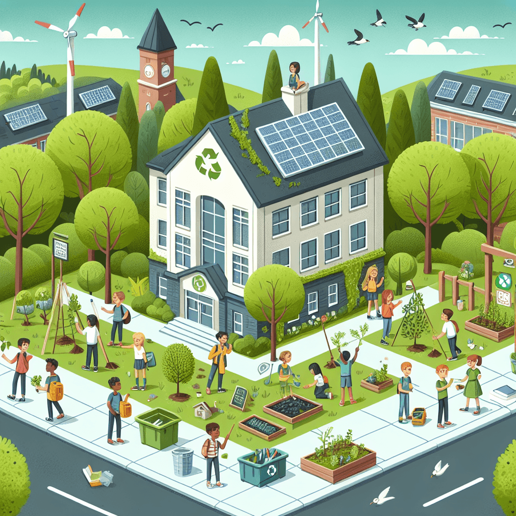
Eco-Map: Improving Our School and Local Environment
Inquiry Framework
Question Framework
Driving Question
The overarching question that guides the entire project.How can we, as community geographers, use maps to redesign a local space using recycled materials to create a better environment for people and wildlife?Essential Questions
Supporting questions that break down major concepts.- How can we use maps to identify specific areas in our school or neighborhood that need improvement?
- In what ways do the daily actions of students and community members affect the local environment?
- How can we redesign a local space to make it more useful or beautiful using only natural or recycled materials?
- How does improving a small part of our school or community impact the people and wildlife living there?
- How can we persuade others to help us maintain the improvements we make to our environment?
Standards & Learning Goals
Learning Goals
By the end of this project, students will be able to:- Students will create a detailed map of a specific area in their school or neighborhood to identify physical features and areas requiring environmental improvement.
- Students will identify and categorize human-made and natural features within a local space and explain how these features impact the local wildlife and community members.
- Students will design a physical or visual model for a 'space makeover' using only recycled or natural materials to solve a specific local environmental issue.
- Students will communicate a persuasive argument to peers or school administrators about the importance of maintaining improved local spaces for the benefit of the community and environment.
C3 Framework for Social Studies State Standards
National Geography Standards (Geography for Life)
Common Core State Standards for English Language Arts
Entry Events
Events that will be used to introduce the project to studentsThe Squirrel's Complaint
Students receive a 'letter' from the local squirrels (or another local animal) complaining about their neighborhood being messy or difficult to navigate. Students must take a 'Nature Walk' around the schoolyard to see the environment from the animal's perspective, identifying areas where nature and school life are clashing.Portfolio Activities
Portfolio Activities
These activities progressively build towards your learning goals, with each submission contributing to the student's final portfolio.The Squirrel's Eye View Map
Building on the 'Squirrel’s Complaint' entry event, students will act as field geographers to document the current state of a specific outdoor area. Instead of a standard map, they will create a 'Squirrel’s Eye View' map that highlights ground-level details, identifying where nature (grass, trees, dirt) meets human-made features (pavement, trash cans, benches).Steps
Here is some basic scaffolding to help students complete the activity.Final Product
What students will submit as the final product of the activityA hand-drawn sketch map of the chosen school/local area with a clear key identifying natural and human-made features.Alignment
How this activity aligns with the learning objectives & standardsAligns with D2.Geo.2.3-5 (Use maps to explain relationships between locations) and National Geography Standard 1 (How to use maps and spatial thinking).Detective of the Dirty and Desolate
In this activity, students analyze their maps to find 'Clash Points'—places where human activity is negatively impacting the environment or wildlife. They will look for evidence like trampled plants, litter, or lack of shade/shelter, and categorize these as human-caused changes to the land.Steps
Here is some basic scaffolding to help students complete the activity.Final Product
What students will submit as the final product of the activityAn Environmental Impact T-Chart that lists observed problems and the human activities that likely caused them.Alignment
How this activity aligns with the learning objectives & standardsAligns with D2.Geo.5.3-5 (Explain how human activities affect environmental characteristics) and National Geography Standard 14 (How human actions modify the physical environment).The Green Space Blueprint
Students will now use their geographical findings to propose a solution. They will create a 'Blueprint for Betterment'—a redesigned map of their chosen area that adds features to help both people and wildlife, using only items that could be recycled or found in nature (like a birdbath made from a plastic lid or a path made of wood chips).Steps
Here is some basic scaffolding to help students complete the activity.Final Product
What students will submit as the final product of the activityA 'Proposed Improvement' Blueprint showing the redesigned space with at least three specific enhancements labeled.Alignment
How this activity aligns with the learning objectives & standardsAligns with National Geography Standard 1 (Spatial thinking to communicate information) and the project goal of designing a space makeover using recycled materials.The 'Save Our Space' Campaign
To ensure their hard work lasts, students must persuade their school community to take care of the environment. Using the evidence gathered in their maps and impact charts, students will write a persuasive 'Call to Action' to the principal or the student body, explaining why their redesign is necessary and how others can help.Steps
Here is some basic scaffolding to help students complete the activity.Final Product
What students will submit as the final product of the activityA Persuasive Letter or Poster that states an opinion, provides geographic reasons for that opinion, and gives a clear 'ask' for the community.Alignment
How this activity aligns with the learning objectives & standardsAligns with CCSS.ELA-LITERACY.W.4.1 (Write opinion pieces supporting a point of view) and the project goal of communicating a persuasive argument.Rubric & Reflection
Portfolio Rubric
Grading criteria for assessing the overall project portfolioCommunity Geographer: Local Environment Improvement Rubric
Geographic Observation and Analysis
Evaluating the student's ability to observe, map, and analyze the local geographic environment and the impact of human activity.Spatial Mapping and Representation
Assessment of the student's ability to create a spatial representation from a specific perspective, including essential map elements like a legend and symbols.
Exemplary
4 PointsThe map provides a highly detailed and accurate 'squirrel’s eye view' with sophisticated use of symbols and a comprehensive legend. It clearly illustrates the relationship between natural and human-made features with exceptional clarity.
Proficient
3 PointsThe map includes the required boundaries, five specific items plotted accurately, and a clear legend that distinguishes between natural and human-made features.
Developing
2 PointsThe map includes most required items but may lack spatial accuracy, or the legend is inconsistent in its use of symbols and colors.
Beginning
1 PointsThe map is incomplete, lacks a clear legend, or does not differentiate between natural and human-made features effectively.
Environmental Impact Analysis
Assessment of the student's ability to analyze and document the relationship between human activities and their impact on the local environment using a T-Chart.
Exemplary
4 PointsDemonstrates sophisticated insight by identifying complex environmental 'clash points' and provides a thorough explanation of how human actions impact both the community and local wildlife.
Proficient
3 PointsClearly identifies three unhealthy areas and correctly links them to specific human activities on a T-Chart, supported by a clear summary sentence.
Developing
2 PointsIdentifies some environmental issues but the links to human activity are inconsistent or the summary sentence lacks clarity.
Beginning
1 PointsObservations are superficial or incomplete, with little to no clear connection made between human actions and environmental health.
Application and Communication
Evaluating the student's ability to apply geographic knowledge to create sustainable solutions and persuade others to maintain them.Sustainable Design and Innovation
Assessment of the student's ability to design environmental improvements using specifically recycled or natural materials to enhance a local space.
Exemplary
4 PointsProposes highly innovative solutions that seamlessly integrate recycled materials to benefit both wildlife and humans, with detailed labeling and movement paths.
Proficient
3 PointsRedesigns the space with at least three specific improvements using recycled or natural materials, clearly labeled and showing the flow of movement.
Developing
2 PointsThe redesign includes fewer than three improvements, or the materials proposed are not clearly recycled or natural.
Beginning
1 PointsThe blueprint shows minimal changes to the original space or fails to identify specific improvements and materials.
Persuasive Communication
Assessment of the student's ability to use geographic evidence to construct a persuasive argument for environmental stewardship.
Exemplary
4 PointsCrafts a compelling and highly persuasive call to action that integrates specific geographic evidence and shows a deep understanding of community responsibility.
Proficient
3 PointsWrites a clear opinion piece that uses evidence from previous activities to support a specific request for community action or maintenance.
Developing
2 PointsThe opinion is stated clearly but the supporting evidence from the project is weak, or the 'ask' for the community is vague.
Beginning
1 PointsThe letter or poster lacks a clear opinion or fails to provide reasons based on the geographic findings of the project.