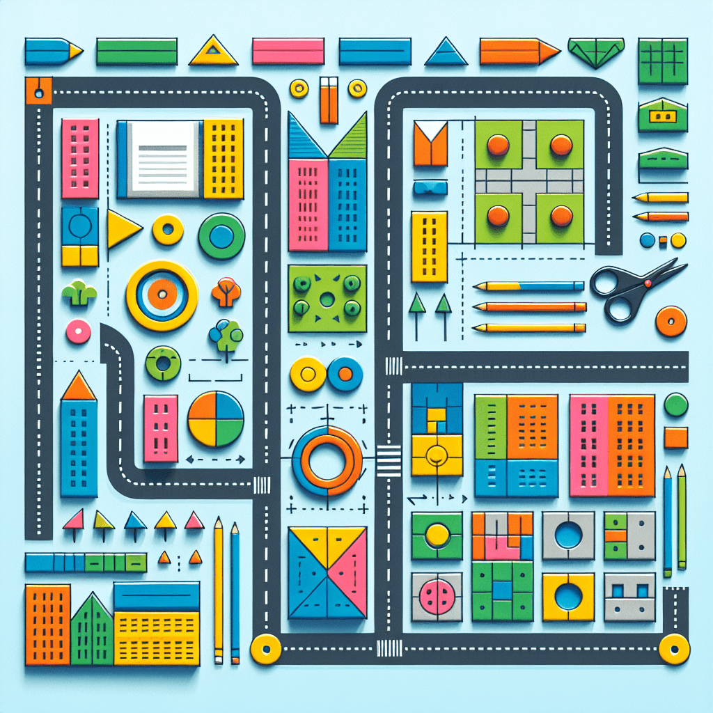
Geometric City Planning: A Math Adventure
Inquiry Framework
Question Framework
Driving Question
The overarching question that guides the entire project.How can we apply geometric principles to design a functional and aesthetically pleasing city?Essential Questions
Supporting questions that break down major concepts.- How can geometric shapes and properties be used to design a city layout?
- What role do measurement and scale play in creating a city design?
- How can symmetry and tessellation contribute to city planning?
- How does understanding geometry help in solving real-world problems like urban planning?
- In what ways can various geometric concepts be applied to ensure an efficient and aesthetic city design?
Standards & Learning Goals
Learning Goals
By the end of this project, students will be able to:- Students will understand and apply the coordinate system to create a city's layout.
- Students will use geometric shapes and properties to design an aesthetically appealing city.
- Students will interpret and graph coordinate points in the first quadrant to model city components.
- Students will relate volume concepts to real-world city planning problems, ensuring efficient space usage.
Common Core Standards
Entry Events
Events that will be used to introduce the project to studentsMystery City Blueprint
Students receive a mysterious blueprint of a city with various geometric shapes labeled only with questions marks. As detectives, they must use their mathematical skills to decode the layout's geometry and envision their own city design inspired by the unexplained blueprint.Architects vs. the Clock
In a race against time, students are invited to become architects tasked with redesigning a city's layout in just one day, using only geometric shapes to ensure efficiency and creativity. This mission will challenge their understanding of geometric principles and spur innovative solutions.Portfolio Activities
Portfolio Activities
These activities progressively build towards your learning goals, with each submission contributing to the student's final portfolio.Coordinate City Planners
In this activity, students will get hands-on experience using coordinate systems to design their geometric city. They will learn the basics of plotting points and how these points can be used to outline and structure the layout of their fictional city.Steps
Here is some basic scaffolding to help students complete the activity.Final Product
What students will submit as the final product of the activityA basic city layout sketched on a coordinate grid.Alignment
How this activity aligns with the learning objectives & standardsThis activity aligns with standard 5.G.A.1, as it teaches students to use coordinate systems for city design.Graphing in the City
This activity is designed to deepen students' understanding of graphing points in a coordinate plane within the context of city planning, helping them to lay out various components of their city design accurately.Steps
Here is some basic scaffolding to help students complete the activity.Final Product
What students will submit as the final product of the activityA detailed city map with accurately graphed components.Alignment
How this activity aligns with the learning objectives & standardsThis activity covers standard 5.G.A.2, as it involves students graphing points to represent real-world planning.Volume Ventures
Students will explore the concept of volume as it applies to city planning. They'll calculate the volume of various geometric shapes representing buildings or city structures, learning to optimize space efficiently.Steps
Here is some basic scaffolding to help students complete the activity.Final Product
What students will submit as the final product of the activityA booklet containing calculated volumes of city structures with commentary on space optimization.Alignment
How this activity aligns with the learning objectives & standardsThis activity aligns with standard 5.MD.C.5, focusing on calculating volume for efficient space usage in city design.Shape Designers
In this activity, students will learn to recognize and apply the properties of shapes in their city’s layout, ensuring both functionality and aesthetic appeal.Steps
Here is some basic scaffolding to help students complete the activity.Final Product
What students will submit as the final product of the activityAn organized city layout plan that uses specific shapes for functional purposes.Alignment
How this activity aligns with the learning objectives & standardsThis activity supports standard 5.G.B.3, which emphasizes recognizing the properties of shapes in design.Rubric & Reflection
Portfolio Rubric
Grading criteria for assessing the overall project portfolioGeometric City Design Assessment Rubric
Coordinate System Understanding
Assessment of students' ability to use coordinate systems for planning and outlining their city layout.Coordinate Accuracy
Precision in plotting points to form the city's skeletal layout.
Exemplary
4 PointsAll coordinates are plotted with high precision and accuracy, forming a clear and correct layout.
Proficient
3 PointsMost coordinates are plotted accurately with few errors, forming a mostly correct layout.
Developing
2 PointsCoordinates are plotted with some errors, resulting in an incomplete or somewhat incorrect layout.
Beginning
1 PointsMany coordinates are plotted incorrectly, resulting in a highly inaccurate layout.
Use of Coordinate System
Ability to use the coordinate system to facilitate the design of the city's layout.
Exemplary
4 PointsDemonstrates exceptional use of the coordinate system to effectively design and articulate the city's layout.
Proficient
3 PointsUses the coordinate system effectively to design the city's layout with some demonstrable clarity.
Developing
2 PointsUses the coordinate system inconsistently, leading to a design that lacks clarity in places.
Beginning
1 PointsStruggles to use the coordinate system, leading to a largely unclear and disorganized design.
Graphing and Spatial Representation
Evaluation of students' ability to graph components of the city accurately and understand their spatial representation in a coordinate plane.Graphing Accuracy
Precision in graphing points and connecting them to represent city components.
Exemplary
4 PointsGraphs all points accurately, with well-defined connections representing city components such as roads and parks.
Proficient
3 PointsGraphs most points accurately, with clear connections, representing city components mostly correctly.
Developing
2 PointsGraphs points with some errors and less clear connections, resulting in some misrepresentation of components.
Beginning
1 PointsIncorrectly graphs many points, resulting in poor representation of city components.
Volume Calculation and Application
Assessment of students' understanding and application of volume in the context of city planning.Volume Calculation Accuracy
Precision in calculating the volume of city structures.
Exemplary
4 PointsCalculates all volumes accurately with comprehensive comments on space optimization.
Proficient
3 PointsCalculates most volumes accurately with clear comments on space optimization.
Developing
2 PointsCalculates volume with some errors and limited comments on space optimization.
Beginning
1 PointsMakes significant errors in volume calculation with insufficient commentary on space use.
Geometric Shape Application
Evaluation of students' ability to apply properties of geometric shapes to create a functional and aesthetically pleasing city design.Shape Functionality and Aesthetics
Effective use of geometric shapes to ensure functionality and aesthetic balance in the city layout.
Exemplary
4 PointsUtilizes geometric shapes highly effectively, creating a functional and highly aesthetically pleasing city layout.
Proficient
3 PointsUses geometric shapes effectively for a mostly functional and aesthetically pleasing city layout.
Developing
2 PointsUses geometric shapes with some success, leading to a somewhat functional and aesthetically incomplete layout.
Beginning
1 PointsStruggles to use geometric shapes effectively, resulting in a largely dysfunctional layout.