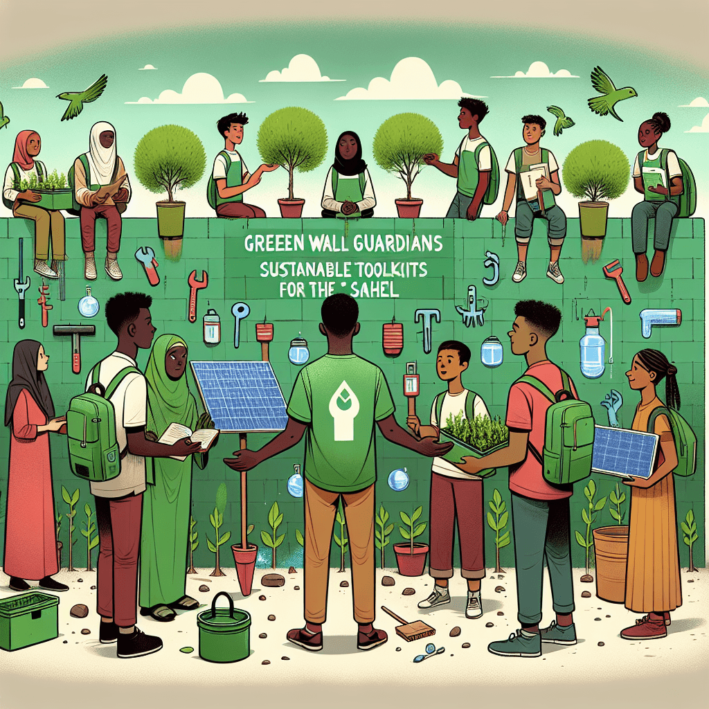
Green Wall Guardians: Sustainable Toolkits for the Sahel
Inquiry Framework
Question Framework
Driving Question
The overarching question that guides the entire project.How can we, as environmental designers, create a sustainable toolkit that empowers communities in the Sahel to overcome desertification and build a thriving future while honoring their history and geography?Essential Questions
Supporting questions that break down major concepts.- How does the physical geography of the Sahel region determine how people live, farm, and trade?
- In what ways have human activities—both historically and currently—contributed to the expansion of the Sahara Desert?
- How does desertification force communities to change their traditional ways of life?
- What can we learn from past civilizations in North Africa about surviving and thriving in arid environments?
- What are the economic and social consequences for a country when its land becomes unusable for farming?
- How does the 'Great Green Wall' initiative represent a shift in how humans interact with and modify their environment?
- What specific challenges (water, soil quality, heat) must our toolkit solve to be truly sustainable for a family in the Sahel?
Standards & Learning Goals
Learning Goals
By the end of this project, students will be able to:- Analyze the physical geography of the Sahel region to determine its impact on local agriculture, trade, and settlement patterns.
- Evaluate the reciprocal relationship between human activity and the environment, specifically focusing on the causes of desertification and the restorative goals of the Great Green Wall.
- Investigate historical land-management and survival strategies used by past North African civilizations to inform modern sustainable solutions.
- Collaborate to design an evidence-based toolkit that addresses specific environmental challenges (water scarcity, soil quality) for a Sahelian community.
- Synthesize economic and social data to explain the consequences of land degradation on human migration and community stability.
State Social Studies Standards
C3 Framework for Social Studies State Standards
Common Core State Standards (ELA/Literacy in History/Social Studies)
Next Generation Science Standards (NGSS)
Entry Events
Events that will be used to introduce the project to studentsThe Global Peer-to-Peer Distress Call
A grainy, 'urgent' video broadcast from a 6th-grade classroom in Senegal is played, where students show their sand-filled playground and explain how the Great Green Wall is their only hope for staying in their homes. This personal connection challenges students to move beyond abstract geography and design toolkits that solve the real-life problems of peers their own age.Portfolio Activities
Portfolio Activities
These activities progressively build towards your learning goals, with each submission contributing to the student's final portfolio.The Ripple Effect: Tracing the Desert’s Footprint
Students investigate the 'why' behind the crisis shown in the entry video. They will act as environmental detectives to trace the chain reaction from human activities (like overgrazing, deforestation for fuel, and unsustainable farming) to the physical expansion of the desert. This activity helps students understand that the 'distress call' they received is a result of both climate change and local human choices.Steps
Here is some basic scaffolding to help students complete the activity.Final Product
What students will submit as the final product of the activityA 'Chain of Change' Infographic that visually links an economic or social activity to a specific environmental consequence (e.g., 'Demand for firewood' -> 'Loss of root systems' -> 'Soil erosion' -> 'Unusable farmland').Alignment
How this activity aligns with the learning objectives & standardsAligns with D2.Geo.4.6-8 (Economic decisions influence environments and daily lives) and SS.6.GE.7 (Human activities modify the physical environment). It focuses on the negative feedback loop of land degradation.Time-Traveler’s Survival Guide: Ancient Solutions for Modern Problems
Before designing new tools, students must look to the past. They will research how ancient North African and Sahelian civilizations, such as the Kingdom of Kush or the Mali Empire, managed water and soil. By understanding techniques like 'Zai pits' (planting pits) or ancient cisterns, students gain a toolkit of 'low-tech' but 'high-wisdom' solutions that honor the history of the region.Steps
Here is some basic scaffolding to help students complete the activity.Final Product
What students will submit as the final product of the activityA 'Wisdom of the Ancestors' Research Log, comparing three historical environmental strategies to modern-day challenges, including a recommendation on which technique should be 're-booted' for their toolkit.Alignment
How this activity aligns with the learning objectives & standardsAligns with D2.His.10.6-8 (Analyze historical interpretations/perspectives) and the project's goal to investigate historical land-management. It bridges the gap between ancient wisdom and modern technology.The Green Wall Toolkit: Designing a Thriving Future
In this final activity, students assemble their sustainable toolkit. This is not just a collection of items, but a strategic system designed to help a Sahelian community thrive. The toolkit must address three specific pillars: Water Scarcity, Soil Restoration (The Green Wall), and Sustainable Energy. Students must explain how each item in their toolkit allows humans to modify their environment in a way that is restorative rather than destructive.Steps
Here is some basic scaffolding to help students complete the activity.Final Product
What students will submit as the final product of the activityThe 'Sahara’s Edge' Sustainable Toolkit. This includes a physical or digital 3D model of the toolkit items, accompanied by a 'User Manual' that explains the geographic, historical, and scientific reasoning behind each tool.Alignment
How this activity aligns with the learning objectives & standardsAligns with MS-ESS3-3 (Apply scientific principles to minimize human impact) and SS.6.GE.7 (Humans modify the physical environment—this time positively). This is the synthesis of the entire project.Rubric & Reflection
Portfolio Rubric
Grading criteria for assessing the overall project portfolioSahara's Edge: Environmental Resilience & Design Rubric
Geographic & Historical Inquiry
Assesses the student's understanding of geographic patterns, human-environment interaction, and the use of historical context to inform modern environmental solutions.Environmental Analysis & Cause-Effect Mapping
Measures the student's ability to analyze and illustrate the complex cause-and-effect relationships between human economic activities (overgrazing, farming, deforestation) and the physical expansion of the Sahara Desert.
Exemplary
4 PointsProvides a sophisticated, multi-layered analysis of how economic decisions (e.g., global cotton demand) trigger a cascade of environmental and social consequences. Visuals use precise icons and data-driven labels to show a clear 'Chain of Change' that accounts for both climate and local choices.
Proficient
3 PointsAccurately traces the chain reaction from a specific human activity to an environmental consequence. Uses clear arrows and icons to demonstrate how land degradation leads to unusable farmland and community migration.
Developing
2 PointsIdentifies a human activity and an environmental result but the link between them is simplified or lacks specific geographic detail. The infographic shows a basic cause-and-effect relationship with some visual clarity.
Beginning
1 PointsAttempts to link human activity to the environment but the relationship is unclear, inaccurate, or lacks supporting evidence from the Sahel region. Visuals are confusing or incomplete.
Historical Synthesis & Adaptation
Evaluates how well students research, analyze, and adapt land-management strategies from ancient North African civilizations (like Zai pits or cisterns) to solve modern-day desertification challenges.
Exemplary
4 PointsDemonstrates a profound understanding of historical land-management by evaluating the nuanced 'why' behind ancient success. Proposes a 're-booted' ancient tool with sophisticated adaptations for modern soil or water scarcity issues, citing specific historical precedents.
Proficient
3 PointsSuccessfully identifies and explains three historical environmental strategies. Recommends an 'Ancient-Inspired Tool' for the toolkit based on a logical comparison between past civilizations and current Sahelian challenges.
Developing
2 PointsIdentifies historical methods but provides a superficial comparison to modern problems. The 'Ancient-Inspired Tool' recommendation is present but lacks a strong justification based on historical evidence.
Beginning
1 PointsLists historical facts without connecting them to environmental management. Fails to explain how ancient wisdom could be applied to modern-day desertification.
Applied Design & Communication
Focuses on the synthesis of research into a functional, sustainable product and the student's ability to communicate complex solutions to a real-world audience.Sustainability Design & System Integration
Assesses the design of the 'Sustainable Toolkit,' specifically how well it addresses the three pillars of water scarcity, soil restoration (The Great Green Wall), and sustainable energy within the Sahelian context.
Exemplary
4 PointsDesigns a highly integrated, evidence-based system where tools work synergistically. Each item (e.g., solar cookers, specific native trees) is perfectly matched to the Sahel’s unique heat and soil profile. The design shows exceptional foresight regarding long-term community thriving.
Proficient
3 PointsSelects three appropriate tools that logically address the three pillars. Each tool is supported by geographic and scientific reasoning, showing a clear intent to minimize human impact and promote environmental restoration.
Developing
2 PointsSelects tools that address some environmental challenges, but the toolkit lacks a cohesive 'system' approach. Some tools may be generic rather than specific to the Sahel's geographic needs.
Beginning
1 PointsToolkit items are chosen without clear connection to the specific challenges of the Sahel (water, soil, heat). Tools may be impractical or fail to address the core problem of desertification.
Advocacy & Evidence-Based Communication
Evaluates the 'User Manual' and the 2-minute pitch for their clarity, use of evidence, and empathy toward the target audience (the Senegalese classroom/NGOs).
Exemplary
4 PointsDelivers a compelling, evidence-based pitch that masterfully synthesizes geographic, historical, and scientific data. The 'User Manual' is professional, highly instructional, and shows a deep empathetic connection to the distress call from the Senegal classroom.
Proficient
3 PointsProduces a clear 'User Manual' with logical 'Impact Statements' for each tool. The pitch effectively communicates how the toolkit enables a family to stay in their home by modifying their environment positively.
Developing
2 PointsProvides a basic 'User Manual' that describes the tools but lacks deep explanation of their impact. The pitch is informative but may rely more on opinion than on researched geographic or scientific evidence.
Beginning
1 PointsThe manual and pitch are incomplete or provide little justification for the toolkit choices. Communication lacks a clear audience focus or fails to address the 'distress call' from the entry event.