Mapping Fractions: Designing a Scaled City Map
Inquiry Framework
Question Framework
Driving Question
The overarching question that guides the entire project.How can we use the concept of dividing fractions to design a city map that accurately represents different areas?Essential Questions
Supporting questions that break down major concepts.- How do fractions represent parts of a whole in practical situations?
- What strategies can we use to divide fractions effectively?
- How can dividing fractions help in creating a map with accurate scaling?
- What are the steps to create a scaled map using fractions?
Standards & Learning Goals
Learning Goals
By the end of this project, students will be able to:- Students will understand how to divide fractions and apply this knowledge in practical situations.
- Students will learn to plot fractions on a grid to create a scaled representation of a city map.
- Students will explore strategies for dividing fractions effectively in order to represent accurate proportional areas.
- Students will develop problem-solving skills through the creation of a scaled map using fraction divisions.
Common Core Standards
Entry Events
Events that will be used to introduce the project to studentsFraction Detective: City Edition
Begin with a mystery scenario where the city is missing some pieces of its map. Students become 'Fraction Detectives' tasked to solve the mystery by calculating and placing missing map segments using fractions. This engaging scenario encourages critical thinking and problem-solving while providing a directly relevant context for learning.Portfolio Activities
Portfolio Activities
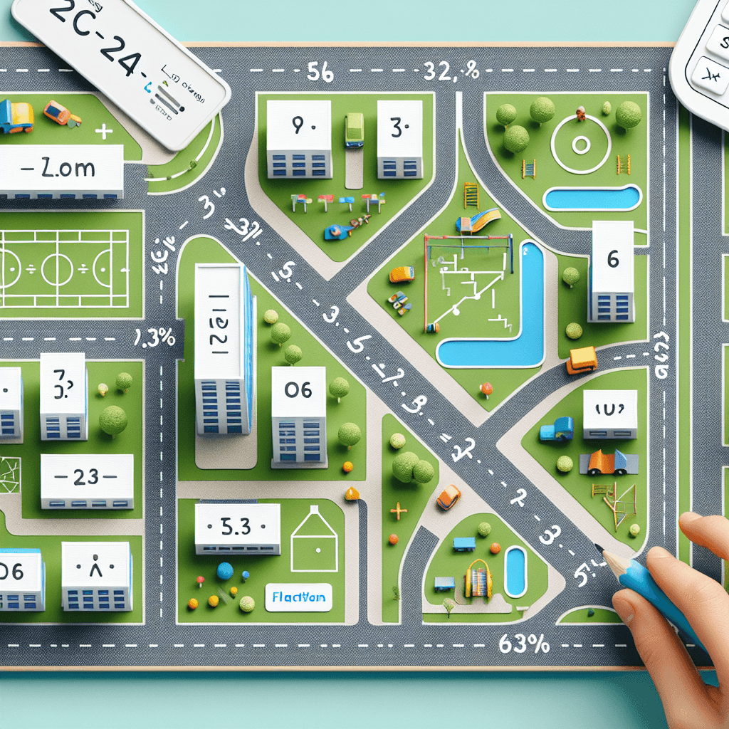
These activities progressively build towards your learning goals, with each submission contributing to the student's final portfolio.Fraction Grid Mapping
Students will apply their understanding of fraction division to create grid maps. By plotting fractional values on graph paper, students will learn how fractions can represent scaled distances and areas within a map design.Steps
Here is some basic scaffolding to help students complete the activity.Final Product
What students will submit as the final product of the activityA fractional grid map showing students' understanding of applying fraction divisions in a real-world context.Alignment
How this activity aligns with the learning objectives & standardsAligns with 5.G.A.2: Plotting and interpreting points in the first quadrant, linked to real-world applications.Rubric & Reflection
Portfolio Rubric
Grading criteria for assessing the overall project portfolioFraction Grid Mapping Rubric for Grade 5
Fraction Division Understanding
Assessment of student's understanding and application of dividing fractions in practical contexts.Conceptual Understanding
Ability to understand and explain fraction division concepts and their real-world applications.
Exemplary
4 PointsDemonstrates sophisticated understanding of fraction division and applies concepts innovatively to real-world scenarios, providing comprehensive explanations.
Proficient
3 PointsDemonstrates thorough understanding of fraction division with clear explanations and correct applications to practical scenarios.
Developing
2 PointsShows emerging understanding of fraction division with basic explanations and occasional application errors.
Beginning
1 PointsShows limited understanding of fraction division with minimal explanation and frequent application errors.
Application in Mapping
Ability to effectively apply fraction division to create an accurate and representative scaled map.
Exemplary
4 PointsApplies fraction division accurately and creatively to produce a highly accurate and detailed map.
Proficient
3 PointsAccurately applies fraction division to create a clear and mostly accurate map.
Developing
2 PointsApplies fraction division inconsistently, resulting in a map with several inaccuracies.
Beginning
1 PointsStruggles to apply fraction division accurately, resulting in an incomplete or unclear map.
Grid Plotting Skills
Assessment of skills in plotting fractional points accurately on a grid to represent maps.Accuracy of Plotting
Precision in plotting fractional values within the grid to reflect correct scaling and area representation.
Exemplary
4 PointsPlots fractional values with exceptional accuracy, demonstrating a strong understanding of scaling and proportionality.
Proficient
3 PointsConsistently plots fractional values correctly with minor errors, showcasing good proportional reasoning.
Developing
2 PointsPlots fractional values with some inaccuracies, reflecting emerging understanding of scaling.
Beginning
1 PointsFrequently makes significant plotting errors, showing limited understanding of fractional scaling.