Mapping Maine Habitats and Cartography- FVS grades 3 and 4. 2025-2026
Inquiry Framework
Question Framework
Driving Question
The overarching question that guides the entire project.How can we, as young cartographers and environmental scientists, map and analyze Maine's diverse habitats to understand their unique ecosystems, compare them to other regions, and propose solutions to protect them from human impact?Essential Questions
Supporting questions that break down major concepts.- How do different Maine habitats support unique ecosystems?
- What are the key features of a map, and how can they help us understand spatial relationships in Maine?
- How do Maine's habitats compare to habitats in other regions?
- How does human activity impact Maine's habitats, and what can we do to protect them?
Standards & Learning Goals
Learning Goals
By the end of this project, students will be able to:- Students will be able to identify and describe the major habitats in Maine.
- Students will be able to create accurate maps of Maine, including key cartographic elements.
- Students will be able to analyze and compare Maine habitats to those in other regions.
- Students will be able to evaluate the impact of human activity on Maine's habitats.
- Students will be able to propose solutions to protect Maine's habitats.
Entry Events
Events that will be used to introduce the project to studentsHabitat Mystery Box
A collection of unlabeled items from different Maine habitats arrives. Students must use observation and inquiry to identify the habitat each item came from and make predictions about the characteristics of each habitat.The Lost Tourist
A series of postcards from a 'lost tourist' arrive, each describing a different Maine habitat but without naming it directly. Students must use clues from the postcards to map the tourist's journey and identify each location.'Habitat SOS'
Students receive urgent messages from 'animals' in different Maine habitats describing threats to their homes. They must use maps and research to understand the habitat, the threat, and propose solutions to help, marking the impacted areas on a map.Maine Map Mashup
Present students with a distorted map of Maine, where habitats are misplaced or missing, and key cartographic elements are incorrect. Students must use their knowledge of Maine's geography, habitats, and cartography to correct the map, justifying their choices with evidence.Portfolio Activities
Portfolio Activities
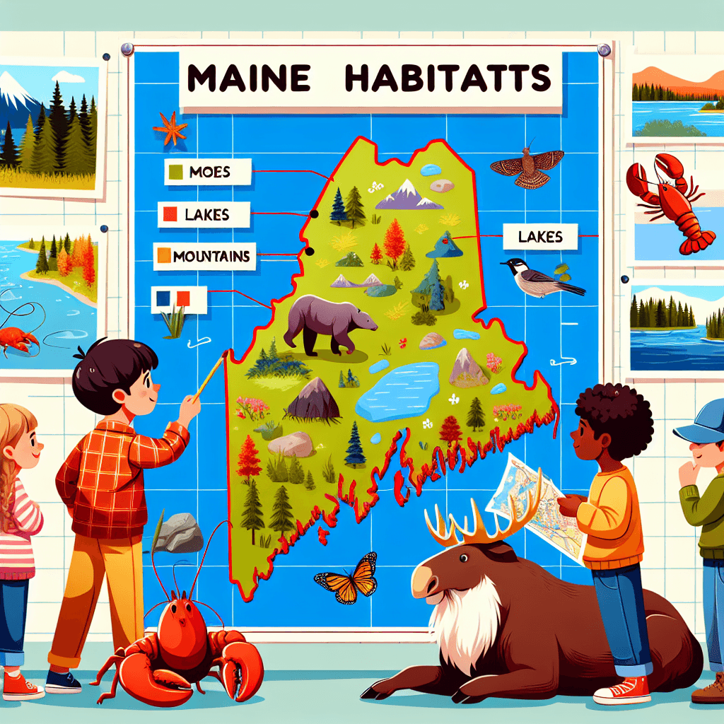
These activities progressively build towards your learning goals, with each submission contributing to the student's final portfolio.Mapping Maine's Marvels
Building upon their habitat research, students will now create a detailed map showcasing the location and key features of their chosen habitat within Maine. They will learn about essential cartographic elements such as scale, symbols, legends, and coordinate systems, applying these to accurately represent their habitat on the map.Steps
Here is some basic scaffolding to help students complete the activity.Final Product
What students will submit as the final product of the activityA detailed map of Maine, accurately representing the chosen habitat with appropriate cartographic elements.Alignment
How this activity aligns with the learning objectives & standardsAddresses the learning goal: Students will be able to create accurate maps of Maine, including key cartographic elements.Rubric & Reflection
Portfolio Rubric
Grading criteria for assessing the overall project portfolioMapping Maine's Marvels Assessment Rubric
Cartographic Accuracy
Assesses the student's ability to incorporate essential cartographic elements to create a clear and precise map.Use of Scale
Evaluates the student's ability to use scale correctly in creating their map.
Exemplary
4 PointsUses scale accurately and consistently, enhancing the map's clarity and realism.
Proficient
3 PointsUses scale appropriately with minor errors that do not detract from clarity.
Developing
2 PointsUses scale inconsistently, leading to some misrepresentations on the map.
Beginning
1 PointsStruggles to use scale, resulting in significant map inaccuracies.
Inclusion of Symbols and Legend
Measures the ability to select and incorporate appropriate symbols and create a useful legend.
Exemplary
4 PointsAll symbols are accurate, relevant, and clearly explained in a comprehensive legend.
Proficient
3 PointsMost symbols are appropriate with a clear explanation in the legend.
Developing
2 PointsSome symbols are incorrectly used or missing with an incomplete legend.
Beginning
1 PointsSymbols are confusing or irrelevant with a poorly explained legend.
Map Clarity and Visual Appeal
Evaluates how clear, organized, and visually appealing the map is.
Exemplary
4 PointsThe map is exceptionally clear and visually engaging, with excellent organization and presentation.
Proficient
3 PointsThe map is clear and organized, with effective use of visual elements.
Developing
2 PointsThe map lacks clarity and organization, impacting its readability.
Beginning
1 PointsThe map is confusing and unappealing, lacking cohesive organization.
Habitat Understanding and Representation
Assess students' ability to accurately represent and label Maine's habitat on their map.Accuracy of Habitat Features
Evaluates the accuracy with which students map and describe key features of the chosen habitat.
Exemplary
4 PointsAll habitat features are mapped with precision and detailed descriptions provided.
Proficient
3 PointsMost features are accurately mapped and described with minor omissions.
Developing
2 PointsSome features are inaccurately mapped or insufficiently described.
Beginning
1 PointsNumerous inaccuracies in mapping and description of habitat features.
Comparison and Analysis
Assesses the student's ability to compare Maine's habitats with those of other regions.
Exemplary
4 PointsProvides a detailed and insightful comparison of Maine's habitats, identifying unique characteristics.
Proficient
3 PointsProvides a clear comparison with minor gaps in detail about habitat differences.
Developing
2 PointsProvides a basic comparison with limited detail or unclear identification of differences.
Beginning
1 PointsComparison lacks clarity and detail, with significant misconceptions about habitat differences.