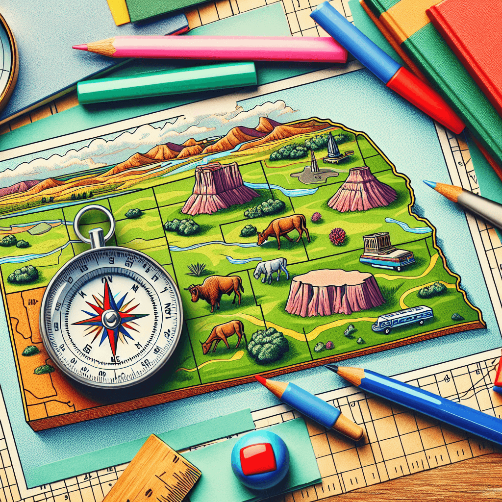
Mapping Nebraska: Exploring Our World
Inquiry Framework
Question Framework
Driving Question
The overarching question that guides the entire project.How can we, as fourth-grade geographers, use maps and mathematical tools to explore, analyze, and explain why communities, landmarks, and natural features are located where they are in Nebraska?Essential Questions
Supporting questions that break down major concepts.- How do we use maps to locate places?
- What are the different types of maps and what information can we get from them?
- How do map scales help us determine real-world distances?
- How do latitude and longitude help us pinpoint locations on Earth?
- Why are certain things located where they are in Nebraska, and how can maps help us understand this?
- How do we classify and differentiate bodies of water, cities, and land masses using maps?
- How can we apply math skills to measure distances, calculate areas, and understand scale on maps?
- How can we use maps to describe the physical and human characteristics of Nebraska?
Standards & Learning Goals
Learning Goals
By the end of this project, students will be able to:- Students will be able to identify and explain the purpose of different types of maps (political, physical, thematic).
- Students will be able to use map scales to measure distances between locations in Nebraska.
- Students will be able to use latitude and longitude to locate specific places on a map of Nebraska.
- Students will be able to analyze maps to determine why communities, landmarks, and natural features are located where they are in Nebraska.
- Students will be able to classify and differentiate between bodies of water, cities, and land masses on a map.
- Students will be able to apply mathematical skills (measuring, calculating distances and areas) to interpret map information.
- Students will be able to describe the physical and human characteristics of Nebraska using maps.
- Students will be able to present their findings on the geography of Nebraska using maps and mathematical data to support their explanations.
- Students will demonstrate an understanding of how to use maps and other geographical tools to locate places and understand spatial relationships in Nebraska.
- Students will explore and explain the spatial organization of people, places, and environments in Nebraska and around the world.
- Students will apply map skills to analyze physical and political maps of Nebraska.
- Students will determine the reasons behind the location of various features and communities in Nebraska.
- Students will differentiate between various classifications of bodies of water, cities, and land masses using maps and geographical data.
- Students will effectively communicate geographical information and analysis through presentations.
Nebraska Social Studies Standards
Entry Events
Events that will be used to introduce the project to studentsGlobal News Challenge
Begin with a captivating news story about a place far away that is difficult to locate. Challenge students to use various mapping tools (globes, atlases, online maps) to pinpoint the location and investigate its geographical characteristics. This introduces the relevance of geography in understanding global events and fosters curiosity about diverse cultures and environments.Emergency Evacuation Simulation
Divide students into teams and assign each a fictional scenario where they must plan an emergency evacuation route for a town threatened by a natural disaster (flood, fire, etc.). Using topographical maps, they must identify safe zones, optimal routes, and potential hazards, justifying their decisions based on geographical factors. This promotes collaborative problem-solving and highlights the importance of maps in real-world crisis situations.The Lost Explorer's Challenge
Students receive a mysterious package containing a fragmented map, a cryptic letter from a 'lost' explorer, and a set of coordinates. The explorer tasks the students with piecing together the map, using the coordinates to locate a hidden treasure within their community, and documenting their journey using map-reading skills. This sparks curiosity about maps, spatial reasoning, and the practical applications of geography.Portfolio Activities
Portfolio Activities
These activities progressively build towards your learning goals, with each submission contributing to the student's final portfolio.My Place in the World Map
Students create a personal map showcasing important places in their lives, such as their home, school, favorite park, etc. They will label each location with its name and a brief description of why it's important to them. This activity introduces basic map elements and spatial reasoning.Steps
Here is some basic scaffolding to help students complete the activity.Final Product
What students will submit as the final product of the activityA hand-drawn or digital personal map with labeled locations and descriptions.Alignment
How this activity aligns with the learning objectives & standardsAddresses SS 4.3.1 and learning goals related to spatial organization and understanding the location of places.Nebraska: Physical vs. Political
Students work with physical and political maps of Nebraska to identify major cities, rivers, landforms, and political boundaries. They create a legend for each map and write a paragraph comparing and contrasting the information presented on both maps.Steps
Here is some basic scaffolding to help students complete the activity.Final Product
What students will submit as the final product of the activityTwo labeled maps (physical and political) of Nebraska with a comparative analysis paragraph.Alignment
How this activity aligns with the learning objectives & standardsAligns with SS 4.3.1.b and learning goals concerning map skills and analysis of physical/political maps.Nebraska's Geographical Features: Classify and Compare
Students classify and differentiate between various bodies of water (rivers, lakes, reservoirs), cities (urban, suburban, rural), and land masses (plains, hills, plateaus) in Nebraska using maps and geographical data. They create a visual representation (e.g., chart, diagram) to illustrate the different classifications.Steps
Here is some basic scaffolding to help students complete the activity.Final Product
What students will submit as the final product of the activityA visual representation (chart, diagram, or infographic) classifying bodies of water, cities, and land masses in Nebraska.Alignment
How this activity aligns with the learning objectives & standardsRelates to SS 4.3.1.d and learning goals regarding the classification of geographical features.Rubric & Reflection
Portfolio Rubric
Grading criteria for assessing the overall project portfolioNebraska Geography Portfolio Rubric
Map Design and Accuracy
Focuses on the key elements and design of the map, including accuracy, clarity, and spatial understanding.Map Elements
Accuracy of map elements (title, labels, legend, scale, orientation).
Exemplary
4 PointsMap includes all required elements (title, labels, legend, scale, orientation) accurately and precisely.
Proficient
3 PointsMap includes most required elements accurately; minor errors or omissions present.
Developing
2 PointsMap includes some required elements, but significant errors or omissions are present.
Beginning
1 PointsMap lacks multiple required elements or contains significant inaccuracies.
Clarity and Organization
Clarity and organization of information presented on the map.
Exemplary
4 PointsMap is exceptionally clear, well-organized, and easy to understand with effective use of visual cues.
Proficient
3 PointsMap is clear and well-organized; information is easily accessible.
Developing
2 PointsMap is somewhat organized, but clarity is lacking; information may be difficult to locate.
Beginning
1 PointsMap is disorganized and difficult to understand; information is poorly presented.
Spatial Reasoning
Evidence of spatial reasoning and understanding of geographical concepts.
Exemplary
4 PointsDemonstrates sophisticated spatial reasoning and a deep understanding of geographical concepts, applying them insightfully to the map.
Proficient
3 PointsDemonstrates clear spatial reasoning and a solid understanding of geographical concepts.
Developing
2 PointsShows some evidence of spatial reasoning, but understanding of geographical concepts is limited.
Beginning
1 PointsDemonstrates minimal spatial reasoning and a poor understanding of geographical concepts.
Analysis and Writing
Evaluates the student's ability to compare and contrast physical and political maps of Nebraska, supported by clear evidence and effective writing.Comparative Analysis
Thoroughness and depth of the comparative analysis in the written paragraph.
Exemplary
4 PointsAnalysis is insightful, comprehensive, and demonstrates a deep understanding of the similarities and differences between the physical and political maps.
Proficient
3 PointsAnalysis is thorough and clearly explains the key similarities and differences between the physical and political maps.
Developing
2 PointsAnalysis identifies some similarities and differences, but lacks depth and detail.
Beginning
1 PointsAnalysis is superficial and fails to adequately compare and contrast the two types of maps.
Evidence and Examples
Use of specific examples and evidence from the maps to support the analysis.
Exemplary
4 PointsAnalysis is well-supported with specific examples and clear evidence from both physical and political maps, enhancing the credibility of the conclusions.
Proficient
3 PointsAnalysis includes relevant examples and evidence from the maps to support the explanations.
Developing
2 PointsAnalysis includes some examples, but they are not always clearly connected to the maps or the explanations.
Beginning
1 PointsAnalysis lacks specific examples or evidence from the maps to support the claims.
Writing Quality
Clarity and coherence of the written paragraph (grammar, sentence structure, vocabulary).
Exemplary
4 PointsParagraph is exceptionally well-written, using precise language and demonstrating strong command of grammar and sentence structure.
Proficient
3 PointsParagraph is clearly written with correct grammar, appropriate vocabulary, and well-structured sentences.
Developing
2 PointsParagraph contains some grammatical errors or awkward sentence structures that detract from clarity.
Beginning
1 PointsParagraph is poorly written with frequent grammatical errors and unclear sentence structures, making it difficult to understand.
Geographical Classification
Assesses the student's ability to accurately classify and represent geographical features in Nebraska, supported by research and clear visual presentation.Classification Accuracy
Accuracy and completeness of the classification of geographical features.
Exemplary
4 PointsClassification is exceptionally accurate and comprehensive, including a wide range of examples and demonstrating a deep understanding of geographical features.
Proficient
3 PointsClassification is accurate and includes a variety of examples of bodies of water, cities, and land masses in Nebraska.
Developing
2 PointsClassification is partially accurate, but may be incomplete or lack specific examples.
Beginning
1 PointsClassification is inaccurate or shows a limited understanding of geographical features in Nebraska.
Visual Clarity
Clarity and organization of the visual representation (chart, diagram, infographic).
Exemplary
4 PointsVisual representation is exceptionally clear, well-organized, and visually appealing, effectively conveying the classification of geographical features.
Proficient
3 PointsVisual representation is clear, organized, and easy to understand.
Developing
2 PointsVisual representation is somewhat organized, but may lack clarity or visual appeal.
Beginning
1 PointsVisual representation is disorganized and difficult to understand.
Research and Understanding
Depth of research and understanding of the characteristics of each classified feature.
Exemplary
4 PointsDemonstrates in-depth research and a sophisticated understanding of the unique characteristics of each type of body of water, city, and land mass.
Proficient
3 PointsDemonstrates thorough research and a clear understanding of the characteristics of each classified feature.
Developing
2 PointsShows some evidence of research, but understanding of the characteristics is limited.
Beginning
1 PointsDemonstrates minimal research and a poor understanding of the characteristics of the classified features.