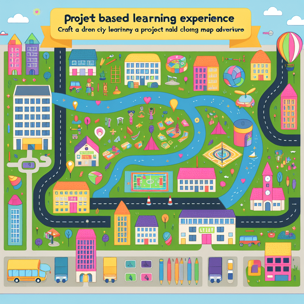
My Dream City Map Adventure
Inquiry Framework
Question Framework
Driving Question
The overarching question that guides the entire project.How can we design a city that includes all essential elements for living, while considering geographical influences and effectively using maps to communicate its layout and functionality?Essential Questions
Supporting questions that break down major concepts.- What elements are essential for a city and why?
- How does the geography of a place influence city design?
- In what ways can maps communicate information about a city's design and function?
- How does a map help us understand and navigate our environment?
Standards & Learning Goals
Learning Goals
By the end of this project, students will be able to:- Students will be able to identify essential elements of city planning and explain their importance.
- Students will understand how geography influences city design and layout.
- Students will create a city map using various media that effectively communicates the city's layout and functionality.
- Students will enhance their skills in reading, interpreting, and creating maps using different methods.
Indiana Social Studies Standards
Entry Events
Events that will be used to introduce the project to studentsMystery City Tour
Set up a virtual reality or augmented reality station where students can 'tour' through a mysterious cityscape filled with familiar and fantastical elements. After the tour, challenge students to design their dream city incorporating features they find most intriguing.Portfolio Activities
Portfolio Activities
These activities progressively build towards your learning goals, with each submission contributing to the student's final portfolio.City Elements Explorer
Students will explore the essential elements that make up a city. This activity helps students identify and understand the components necessary for a functioning city such as roads, residential areas, commercial zones, parks, and more.Steps
Here is some basic scaffolding to help students complete the activity.Final Product
What students will submit as the final product of the activityIndividual sketches showing various city elements.Alignment
How this activity aligns with the learning objectives & standardsAligns with SS2.5.1 by helping students recognize familiar areas and simple patterns within cities.Geography Influence Investigation
This activity involves students analyzing how geography affects city design. Students will use maps to examine different geographic factors like rivers, mountains, and plains, and discuss how these influence city layouts.Steps
Here is some basic scaffolding to help students complete the activity.Final Product
What students will submit as the final product of the activityGroup illustrations and explanations of cities designed around specific geographic features.Alignment
How this activity aligns with the learning objectives & standardsAligns with SS2.5.1 by allowing students to use maps to see how geography influences city layouts.Map Maker Masterclass
Students will create their own city map using various media. This activity focuses on using artistic and digital tools to convey their city's layout and functionality.Steps
Here is some basic scaffolding to help students complete the activity.Final Product
What students will submit as the final product of the activityA detailed map of a dream city using chosen media, illustrating its comprehensive design and layout.Alignment
How this activity aligns with the learning objectives & standardsAligns with SS2.5.1 by enabling students to create maps using a variety of media and represent their understanding of city layouts and geographical influences.Map Reading Adventure
This interactive activity aims to enhance students' skills in reading and interpreting maps through a fun scavenger hunt based on interpreting a provided city map.Steps
Here is some basic scaffolding to help students complete the activity.Final Product
What students will submit as the final product of the activitySuccess in marking all scavenger hunt points on the map.Alignment
How this activity aligns with the learning objectives & standardsAddresses SS2.5.1 by improving students' ability to use maps to navigate and understand city layouts, focusing on practical map reading skills.City Presentation Gala
Students will present the dream cities they designed and explain their choices, integrating all the skills and knowledge from the project-induced activities.Steps
Here is some basic scaffolding to help students complete the activity.Final Product
What students will submit as the final product of the activityA presentation showcasing each student's dream city, including detailed explanations and visual aid.Alignment
How this activity aligns with the learning objectives & standardsEncourages thorough understanding of SS2.5.1 by integrating map creation, geographic consideration, and presentation skills into a comprehensive finale.Rubric & Reflection
Portfolio Rubric
Grading criteria for assessing the overall project portfolioDream City Portfolio Assessment Rubric
Understanding of City Elements
Evaluates students' ability to identify and explain essential city components and their importance.Identification of City Elements
Ability to identify essential elements of a city, such as roads, schools, parks, etc.
Exemplary
4 PointsIdentifies all essential city elements accurately and explains their importance in great detail, showing deep understanding.
Proficient
3 PointsIdentifies most essential city elements accurately and explains their importance with clarity.
Developing
2 PointsIdentifies some essential city elements but provides limited explanation of their importance.
Beginning
1 PointsStruggles to identify essential city elements and lacks understanding of their importance.
Explanation of Importance
Ability to explain why each identified city element is important for city's functionality.
Exemplary
4 PointsProvides comprehensive explanations for the importance of each city element with insightful reasoning.
Proficient
3 PointsExplains the importance of most city elements with clear and logical reasoning.
Developing
2 PointsOffers basic explanations for the importance of city elements with limited reasoning.
Beginning
1 PointsProvides minimal or unclear explanations for the importance of city elements.
Geography Influence on Design
Assesses students' understanding of how geographical features influence city design and layout.Geographic Feature Analysis
Ability to analyze the influence of specific geographic features on city design.
Exemplary
4 PointsThoroughly analyzes how geographic features impact city layouts, with detailed examples.
Proficient
3 PointsAnalyzes how geographic features impact city layouts with clear examples.
Developing
2 PointsProvides a basic analysis of geographic impacts on city layouts with few examples.
Beginning
1 PointsFinds it difficult to analyze geographic impacts on city layouts, providing little to no examples.
Map Creation and Use
Evaluates the ability to create accurate and effective maps using different media and tools.Map Accuracy
Ability to create a detailed and accurate city map incorporating necessary elements.
Exemplary
4 PointsCreates a highly accurate and detailed map that includes all necessary elements and innovative design.
Proficient
3 PointsCreates an accurate map with most necessary elements included.
Developing
2 PointsCreates a map with some elements, but lacks detail and accuracy.
Beginning
1 PointsStruggles to create an accurate map and includes few necessary elements.
Use of Tools and Media
Proficiency in using various tools and media to represent map layouts effectively.
Exemplary
4 PointsDemonstrates exceptional skill in using diverse tools and media to create a clear and effective map.
Proficient
3 PointsUses various tools and media effectively to create a map.
Developing
2 PointsUses tools and media inconsistently to create a map.
Beginning
1 PointsHas difficulty using tools and media effectively to create a map.
Presentation and Communication Skills
Assesses clarity, organization, and effectiveness in oral and visual presentation of the city design.Clarity and Organization
Ability to present ideas clearly and in a well-organized manner.
Exemplary
4 PointsPresents ideas in a highly organized, clear, and logical manner with insightful connections.
Proficient
3 PointsPresents ideas clearly and in a well-organized manner.
Developing
2 PointsPresents ideas with some organization but lacks clarity.
Beginning
1 PointsStruggles to present ideas clearly or organizationally.
Engagement and Communication
Engages the audience and communicates ideas effectively during the presentation.
Exemplary
4 PointsEngages the audience exceptionally well and communicates ideas with great effectiveness.
Proficient
3 PointsEngages the audience and communicates ideas effectively.
Developing
2 PointsShows some engagement and communicates ideas with basic effectiveness.
Beginning
1 PointsDemonstrates limited engagement and struggles to communicate ideas.