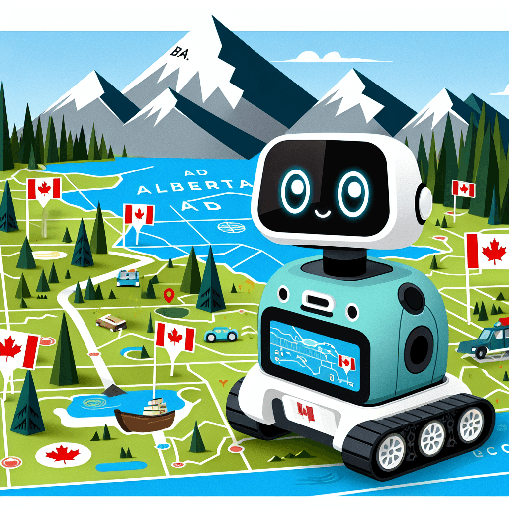
Ozobot Adventure: Exploring Alberta & Canada
Inquiry Framework
Question Framework
Driving Question
The overarching question that guides the entire project.How can we, as tech-savvy explorers, use Ozobots to showcase Alberta's diverse regions and resources, while highlighting the landforms, major cities, national parks and natural resources of the area?Essential Questions
Supporting questions that break down major concepts.- How does Alberta's geography impact where people live and how they use the land?
- What are Alberta's and Canada's natural resources, and how do we use them sustainably?
- Why are parks and protected areas important for Alberta's and Canada's environment?
- How can we use technology to explore and share information about Alberta's and Canada's regions and resources?
Standards & Learning Goals
Learning Goals
By the end of this project, students will be able to:- Students will be able to program Ozobots to navigate and represent different regions of Alberta and Canada.
- Students will be able to identify and describe major geographical features, natural resources, and climate factors of Alberta and Canada.
- Students will be able to explain the importance of sustainability and conservation in Alberta and Canada.
- Students will be able to analyze and synthesize information from various texts about Alberta and Canada.
- Students will be able to effectively present information about Alberta and Canada to an audience using digital tools.
Alberta Social Studies
Alberta English Language Arts
Entry Events
Events that will be used to introduce the project to studentsAlberta and Canada Adventure Challenge
Teams receive cryptic clues related to different Alberta landmarks and geographical regions. They must decipher the clues and program their Ozobots to 'visit' those locations, learning about the region's unique features and significance along the way. The first team to complete the virtual tour wins.Portfolio Activities
Portfolio Activities
These activities progressively build towards your learning goals, with each submission contributing to the student's final portfolio.Alberta Region Explorer: Ozobot's First Mission
Students embark on their Ozobot adventure by focusing on one of Alberta's diverse regions. They'll investigate its defining geographical features, including landforms, water bodies, and natural resources, to prepare for their Ozobot's journey.Steps
Here is some basic scaffolding to help students complete the activity.Final Product
What students will submit as the final product of the activityA detailed, labeled map of an Alberta region, accompanied by a descriptive paragraph highlighting its key features and significance.Alignment
How this activity aligns with the learning objectives & standardsAddresses standard 4.1 (Identify major geographical regions, landforms, and bodies of water in Alberta) and 4.2 (Identify significant natural resources in Alberta and their locations). Prepares students for using Ozobots to represent these features.Ozobot Trailblazer: Alberta Edition
Students program their Ozobots to travel a path that represents a journey through their chosen Alberta region. They will use Ozobot color codes to indicate different geographical features or resources along the way.Steps
Here is some basic scaffolding to help students complete the activity.Final Product
What students will submit as the final product of the activityA programmed Ozobot route that visually and technologically represents a journey through an Alberta region.Alignment
How this activity aligns with the learning objectives & standardsBuilds on standard 4.1 and 4.2 by requiring students to represent geographical features and resources using technology. Also introduces elements of ELA 4.7 (Present information that engages an audience).Park Protector: Ozobot's Sustainability Mission
Students will delve into the world of Alberta's parks, both provincial and national, to understand their crucial role in maintaining a sustainable environment. They'll use Ozobots to simulate conservation efforts and create interactive presentations to showcase their findings.Steps
Here is some basic scaffolding to help students complete the activity.Final Product
What students will submit as the final product of the activityA multimedia presentation showcasing an Alberta park's sustainability efforts, accompanied by an Ozobot program that simulates a conservation activity within the park.Alignment
How this activity aligns with the learning objectives & standardsAddresses standard 4.3 (Explain the importance of Alberta’s provincial parks and protected areas and the national parks in Alberta to the sustainability of Alberta’s natural environment) and ELA 4.7 (Present information that engages, informs, persuades, or entertains an audience). Integrates technology to enhance understanding and presentation skills.Canada's Climate Factors
Students investigate the climate factors that influence different geographical regions in Canada.Steps
Here is some basic scaffolding to help students complete the activity.Final Product
What students will submit as the final product of the activityA visual representation of climate factors.Alignment
How this activity aligns with the learning objectives & standardsAddresses standard 5.2 (Identify the factors that determine climate in the diverse geographical regions of Canada.)Text Feature Expedition: Alberta & Canada
Students embark on an expedition to uncover the hidden clues within texts about Alberta and Canada. They will become text feature detectives, carefully examining various sources to identify and analyze how different features contribute to their understanding of the regions.Steps
Here is some basic scaffolding to help students complete the activity.Final Product
What students will submit as the final product of the activityA comprehensive 'Text Feature Logbook' showcasing analyzed text features with explanations of their purpose and effectiveness in conveying information about Alberta and Canada.Alignment
How this activity aligns with the learning objectives & standardsFocuses on ELA.4.5 (Examine a variety of text features that provide important information in a text) and supports all the Social Studies standards by enhancing students' ability to gather and interpret information. It also encourages deeper analysis and critical thinking about how different elements of a text work together to communicate meaning.Fact vs. Opinion Face-Off: Alberta & Canada Edition
Students will analyze non-fiction texts about Alberta and Canada to distinguish between facts and opinions, evaluate information reliability, and recognize potential biases. They will then categorize statements, justify their classifications, and present their findings in a structured format.Steps
Here is some basic scaffolding to help students complete the activity.Final Product
What students will submit as the final product of the activityA completed table/chart categorizing factual and opinion-based statements from various texts about Alberta and Canada, along with a reflection on source reliability and bias.Alignment
How this activity aligns with the learning objectives & standardsDirectly addresses ELA.4.6 (Discuss a variety of facts and opinions expressed in non-fiction texts) and promotes critical thinking skills relevant to all areas of the project. Reinforces research skills and media literacy.Alberta & Canada: The Pitch
Students create a persuasive presentation to promote a specific region, resource, or park in Alberta or Canada. They will use a combination of facts, opinions, and visuals to engage their audience and advocate for its importance or sustainability.Steps
Here is some basic scaffolding to help students complete the activity.Final Product
What students will submit as the final product of the activityA persuasive presentation advocating for the importance or sustainability of a specific region, resource, or park in Alberta or Canada.Alignment
How this activity aligns with the learning objectives & standardsIntegrates ELA.4.7 (Present information that engages, informs, persuades, or entertains an audience) with the content knowledge gained throughout the project. It also reinforces the Social Studies standards by requiring students to synthesize and present information about Alberta and Canada.Rubric & Reflection
Portfolio Rubric
Grading criteria for assessing the overall project portfolioAlberta & Canada Ozobot Portfolio Rubric
Geographical Understanding
Demonstrates knowledge of Alberta and Canada's regions, landforms, water bodies, and climate factors.Accuracy of Information
Presents correct and detailed information about geographical features and regions.
Exemplary
4 PointsProvides comprehensive and accurate information, demonstrating a deep understanding of geographical concepts. Information is exceptionally detailed and insightful.
Proficient
3 PointsPresents accurate information about key geographical features and regions, demonstrating a solid understanding of concepts.
Developing
2 PointsPresents mostly accurate information with some gaps in understanding or minor inaccuracies.
Beginning
1 PointsPresents inaccurate or incomplete information, demonstrating a limited understanding of geographical concepts.
Map & Visual Representation Skills
Effectively creates and uses maps or other visual aids to represent geographical information.
Exemplary
4 PointsCreates highly detailed, accurate, and visually appealing maps or visual representations. Demonstrates exceptional attention to detail and effective use of design principles.
Proficient
3 PointsCreates accurate and clear maps or visual representations that effectively convey geographical information.
Developing
2 PointsCreates maps or visual representations with some inaccuracies or lack of clarity. Some key elements may be missing or poorly presented.
Beginning
1 PointsCreates incomplete or inaccurate maps or visual representations that fail to effectively convey geographical information.
Ozobot Programming & Integration
Demonstrates effective use of Ozobots to represent and explore geographical concepts, resources, and sustainability efforts.Ozobot Route Design & Functionality
Programs the Ozobot to follow a logical and functional route that accurately represents the chosen region or activity.
Exemplary
4 PointsPrograms the Ozobot with a sophisticated route that creatively and accurately represents the chosen region or activity. Demonstrates mastery of Ozobot programming.
Proficient
3 PointsPrograms the Ozobot to follow a clear and functional route that represents the chosen region or activity effectively.
Developing
2 PointsPrograms the Ozobot to follow a route with some inaccuracies or functional issues. Route may not fully represent the chosen region or activity.
Beginning
1 PointsStruggles to program the Ozobot to follow a coherent route. Program is largely non-functional or irrelevant to the chosen region or activity.
Creative Use of Ozobot Features
Utilizes Ozobot color codes and other features to enhance the representation of geographical features, resources, or sustainability efforts.
Exemplary
4 PointsUses Ozobot features in a highly creative and effective manner to enhance the understanding and impact of the project. Demonstrates innovative application of technology.
Proficient
3 PointsEffectively uses Ozobot features to represent geographical features, resources, or sustainability efforts.
Developing
2 PointsUses Ozobot features with limited effectiveness or creativity. Some features may be misused or underutilized.
Beginning
1 PointsMakes little to no use of Ozobot features to enhance the project. Demonstrates a limited understanding of Ozobot capabilities.
Sustainability & Resource Management
Understands and explains the importance of sustainability and responsible resource management in Alberta and Canada.Explanation of Sustainability Concepts
Clearly articulates the significance of parks, protected areas, and conservation efforts in maintaining a sustainable environment.
Exemplary
4 PointsProvides a comprehensive and insightful explanation of sustainability concepts, demonstrating a deep understanding of environmental issues and conservation strategies.
Proficient
3 PointsClearly explains the importance of sustainability and conservation in the context of Alberta and Canada.
Developing
2 PointsProvides a basic explanation of sustainability concepts with some gaps in understanding or detail.
Beginning
1 PointsStruggles to explain the importance of sustainability or demonstrates a limited understanding of related concepts.
Relevance to Real-World Issues
Connects the project to real-world environmental challenges and potential solutions in Alberta and Canada.
Exemplary
4 PointsDraws insightful connections between the project and current environmental issues, offering potential solutions and demonstrating a strong sense of environmental responsibility.
Proficient
3 PointsConnects the project to relevant environmental challenges and solutions in Alberta and Canada.
Developing
2 PointsMakes some attempt to connect the project to real-world environmental issues, but the connections may be weak or unclear.
Beginning
1 PointsFails to connect the project to real-world environmental issues or demonstrate an understanding of their relevance.
Communication & Presentation Skills
Effectively communicates findings through written reports, presentations, and multimedia elements.Clarity & Organization
Presents information in a clear, concise, and well-organized manner.
Exemplary
4 PointsPresents information with exceptional clarity, organization, and coherence. The presentation is engaging and easy to follow.
Proficient
3 PointsPresents information in a clear and well-organized manner.
Developing
2 PointsPresents information with some organizational issues or lack of clarity. Some aspects may be difficult to understand.
Beginning
1 PointsPresents information in a disorganized and unclear manner. The presentation is difficult to follow.
Use of Evidence & Text Features
Supports claims with relevant evidence and effectively utilizes text features to enhance understanding.
Exemplary
4 PointsProvides compelling evidence to support claims and demonstrates a sophisticated understanding of text features. Uses text features creatively and effectively to enhance the presentation.
Proficient
3 PointsSupports claims with relevant evidence and effectively utilizes text features to enhance understanding.
Developing
2 PointsProvides limited evidence or uses text features ineffectively. Some claims may lack support.
Beginning
1 PointsFails to provide evidence or utilize text features effectively. Claims are unsubstantiated.
Critical Thinking & Analysis
Demonstrates the ability to analyze information, distinguish between facts and opinions, and evaluate sources.Fact vs. Opinion Differentiation
Accurately distinguishes between factual statements and opinions in the researched materials.
Exemplary
4 PointsConsistently and accurately differentiates between facts and opinions, providing insightful justifications for each classification. Demonstrates a nuanced understanding of bias and source reliability.
Proficient
3 PointsAccurately differentiates between facts and opinions with clear justifications.
Developing
2 PointsShows some difficulty in distinguishing between facts and opinions. Justifications may be weak or unclear.
Beginning
1 PointsStruggles to differentiate between facts and opinions or provide adequate justifications.
Source Evaluation
Evaluates the reliability and potential biases of different sources of information.
Exemplary
4 PointsProvides a thorough and insightful evaluation of source reliability and potential biases, demonstrating a sophisticated understanding of media literacy.
Proficient
3 PointsEvaluates the reliability and potential biases of different sources.
Developing
2 PointsMakes some attempt to evaluate source reliability and bias, but the analysis may be superficial or incomplete.
Beginning
1 PointsFails to evaluate source reliability or demonstrate an understanding of bias.