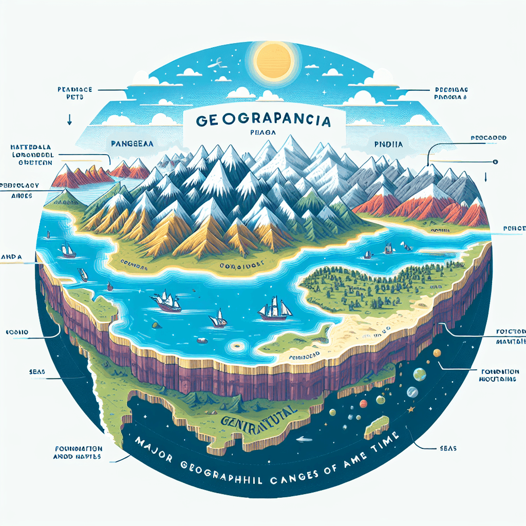
Pangaea to India
Inquiry Framework
Question Framework
Driving Question
The overarching question that guides the entire project.How did the journey of India from Pangaea to its collision with Asia shape the world we know today, and what can we learn from this monumental shift in Earth's history?Essential Questions
Supporting questions that break down major concepts.- What was Pangaea?
- What is the theory of continental drift?
- How did India separate from Pangaea?
- How did India collide with Asia?
- What were the effects of the collision between India and Asia?
Standards & Learning Goals
Learning Goals
By the end of this project, students will be able to:- Students will be able to describe the concept of Pangaea and continental drift.
- Students will be able to explain the journey of India from Pangaea to its collision with Asia.
- Students will be able to identify and analyze the effects of the collision between India and Asia on the world.
Entry Events
Events that will be used to introduce the project to studentsContinental Drift Challenge
Present students with a giant, blank puzzle representing Earth. The challenge: piece together the continents based on provided clues (matching coastlines, fossil locations, mountain ranges), leading to the realization of a supercontinent.Build Your Own Supercontinent
Challenge groups to design their own supercontinent, considering climate zones, resource distribution, and potential for life. This encourages creative thinking about the benefits and drawbacks of a unified landmass.Portfolio Activities
Portfolio Activities
These activities progressively build towards your learning goals, with each submission contributing to the student's final portfolio.Pangaea Puzzle: Piece by Piece
Students begin by assembling a map of Pangaea, understanding the supercontinent's structure and the initial positions of future continents.Steps
Here is some basic scaffolding to help students complete the activity.Final Product
What students will submit as the final product of the activityA labeled map of Pangaea, clearly showing the arrangement of continents.Alignment
How this activity aligns with the learning objectives & standardsAddresses the learning goal: Students will be able to describe the concept of Pangaea and continental drift.India's Epic Voyage: A Comic Strip
Students create a comic strip illustrating India's journey from Pangaea to Asia, highlighting key stages and geographical changes.Steps
Here is some basic scaffolding to help students complete the activity.Final Product
What students will submit as the final product of the activityA colorful comic strip depicting India's journey, with clear illustrations and informative captions.Alignment
How this activity aligns with the learning objectives & standardsAddresses the learning goal: Students will be able to explain the journey of India from Pangaea to its collision with Asia.Collision Consequences: A News Report
Students create a news report detailing the effects of the collision between India and Asia, focusing on the formation of the Himalayas and climate changes.Steps
Here is some basic scaffolding to help students complete the activity.Final Product
What students will submit as the final product of the activityA well-researched and presented news report on the consequences of the India-Asia collision, including visuals and a script.Alignment
How this activity aligns with the learning objectives & standardsAddresses the learning goal: Students will be able to identify and analyze the effects of the collision between India and Asia on the world.Rubric & Reflection
Portfolio Rubric
Grading criteria for assessing the overall project portfolioPangaea to India Portfolio Rubric - Grade 3
Understanding of Pangaea and Continental Drift
Demonstrates comprehension of Pangaea's structure, continental drift theory, and the arrangement of continents within Pangaea.Pangaea Map Accuracy
Accuracy of the assembled and labeled Pangaea map, including the correct placement of future continents.
Exemplary
4 PointsThe Pangaea map is assembled perfectly, with all continents accurately placed and clearly labeled. Demonstrates a sophisticated understanding of Pangaea's structure.
Proficient
3 PointsThe Pangaea map is assembled accurately, with most continents correctly placed and labeled. Demonstrates a thorough understanding of Pangaea's structure.
Developing
2 PointsThe Pangaea map is partially assembled, with some continents misplaced or mislabeled. Shows an emerging understanding of Pangaea's structure.
Beginning
1 PointsThe Pangaea map is poorly assembled, with many continents misplaced or missing labels. Shows initial understanding of Pangaea's structure.
Depiction of India's Journey
Effectively illustrates India's separation from Pangaea and its northward drift towards Asia through a comic strip format.Comic Strip Clarity and Accuracy
Clarity and accuracy of the comic strip in depicting the key stages of India's journey, including geographical changes and environmental conditions.
Exemplary
4 PointsThe comic strip is exceptionally clear, accurate, and engaging, depicting each stage of India's journey with detailed illustrations and informative captions. Demonstrates innovative application of concepts.
Proficient
3 PointsThe comic strip is clear and accurate, depicting each stage of India's journey with appropriate illustrations and captions. Demonstrates effective application of concepts.
Developing
2 PointsThe comic strip is somewhat unclear or inaccurate, with some stages of India's journey missing or poorly illustrated. Shows inconsistent application of concepts.
Beginning
1 PointsThe comic strip is unclear and inaccurate, failing to adequately depict India's journey. Struggles with concept application.
Informative Captions
Quality and relevance of captions and speech bubbles in explaining the events and changes in each comic panel.
Exemplary
4 PointsCaptions are exceptionally informative, insightful, and well-integrated into the comic strip, providing a comprehensive understanding of India's journey. Demonstrates exceptional critical thinking.
Proficient
3 PointsCaptions are informative and relevant, explaining the key events and changes in each panel effectively. Demonstrates effective critical thinking.
Developing
2 PointsCaptions are somewhat informative but may lack detail or relevance to the illustrations. Demonstrates basic critical thinking.
Beginning
1 PointsCaptions are minimal or irrelevant, failing to explain the events and changes depicted in the comic strip. Demonstrates minimal critical thinking.
Analysis of Collision Consequences
Effectively analyzes and presents the consequences of the collision between India and Asia through a news report format.News Report Content Accuracy
Accuracy and depth of research on the effects of the India-Asia collision, particularly regarding the formation of the Himalayas and associated climate changes.
Exemplary
4 PointsThe news report is exceptionally accurate, detailed, and insightful, providing a comprehensive analysis of the effects of the India-Asia collision. Demonstrates advanced integration of skills.
Proficient
3 PointsThe news report is accurate and detailed, providing a thorough analysis of the effects of the India-Asia collision. Integrates skills successfully.
Developing
2 PointsThe news report is somewhat accurate but lacks detail or depth in its analysis of the effects of the India-Asia collision. Shows partial skill integration.
Beginning
1 PointsThe news report is inaccurate or incomplete, failing to adequately analyze the effects of the India-Asia collision. Shows limited skill integration.
Presentation Quality and Clarity
Clarity, organization, and engagement of the news report presentation, including the effective use of visuals.
Exemplary
4 PointsThe news report is presented with exceptional clarity, organization, and engagement, using visuals effectively to enhance understanding. Produces outstanding quality work.
Proficient
3 PointsThe news report is presented clearly, organized, and engaging, using visuals appropriately. Produces quality work consistently.
Developing
2 PointsThe news report is somewhat disorganized or unclear, with visuals that are not effectively integrated. Produces work of varying quality.
Beginning
1 PointsThe news report is disorganized, unclear, and lacks engagement, with minimal or ineffective use of visuals. Produces incomplete work.