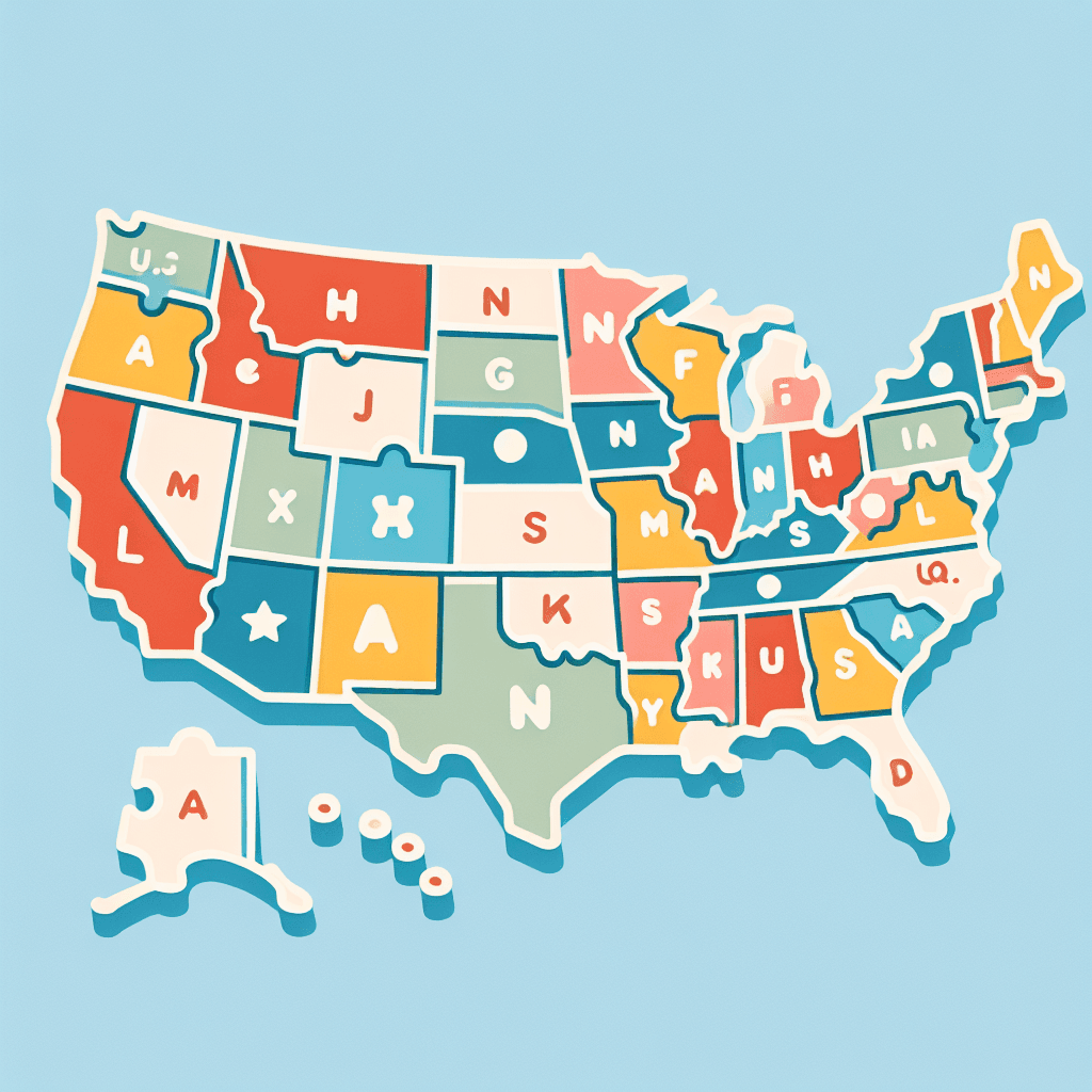
Puzzle Piece States: US Map
Inquiry Framework
Question Framework
Driving Question
The overarching question that guides the entire project.How can we create a puzzle of the United States that not only demonstrates the physical connection between states but also highlights the unique cultural and geographical characteristics of each one?Essential Questions
Supporting questions that break down major concepts.- How do puzzle pieces represent the different states in the US?
- What are the unique characteristics of each US state?
- How does the location of a state affect its climate and geography?
- What are the state capitals and major cities in each region of the US?
- How do physical features and natural resources vary across the states?
Standards & Learning Goals
Learning Goals
By the end of this project, students will be able to:- Students will be able to identify all 50 states on a map of the United States.
- Students will understand and describe the unique cultural and geographical characteristics of different US states.
- Students will learn how to represent geographical boundaries and physical features of states through a puzzle.
- Students will be able to explain how the location of a state affects its climate and resources.
- Students will research and articulate the key cities and capitals of various states in the US.
State Geography Standards
Common Core Standards
Entry Events
Events that will be used to introduce the project to studentsThe Mysterious Package
Students receive a mysterious package labeled 'Top Secret' containing puzzle pieces shaped like states but with all identifying features removed. The task is to unlock the mystery by researching and figuring out which states they belong to, linking geography with detective-like investigation.Portfolio Activities
Portfolio Activities
These activities progressively build towards your learning goals, with each submission contributing to the student's final portfolio.State Shape Sleuths
In this activity, students act as detectives to identify and label the states in the mysterious puzzle package by researching their shapes and characteristics.Steps
Here is some basic scaffolding to help students complete the activity.Final Product
What students will submit as the final product of the activityA labeled set of state puzzle pieces with each piece accurately identified and named.Alignment
How this activity aligns with the learning objectives & standardsAligns with SS.3.1 as students identify states on a U.S. map.Cultural Connection Creators
Students research and uncover cultural and geographical facts about each identified state to deepen their understanding and appreciation of its uniqueness.Steps
Here is some basic scaffolding to help students complete the activity.Final Product
What students will submit as the final product of the activityA cultural fact card for each state, showcasing unique cultural characteristics.Alignment
How this activity aligns with the learning objectives & standardsConnects with SS.3.1, examining cultural aspects of states.Geographical Feature Advisors
This activity involves students investigating the physical geography of each state, including climate, major cities, and significant natural resources.Steps
Here is some basic scaffolding to help students complete the activity.Final Product
What students will submit as the final product of the activityAn illustrated map showcasing the geographical features and resources of each state.Alignment
How this activity aligns with the learning objectives & standardsMeets SS.3.2 standards by discussing geographical features.Climatic Impact Investigators
Students explore how geography impacts climate and natural resources, focusing on how the location of a state influences these aspects.Steps
Here is some basic scaffolding to help students complete the activity.Final Product
What students will submit as the final product of the activityA detailed explanatory text linking a state's geography with its climate and natural resources.Alignment
How this activity aligns with the learning objectives & standardsAligns with CCSS.ELA-LITERACY.W.3.2 by writing explanatory texts.Capital City Connectors
Through this activity, students pinpoint state capitals and significant cities to enhance their knowledge of key locations within each state.Steps
Here is some basic scaffolding to help students complete the activity.Final Product
What students will submit as the final product of the activityAn annotated puzzle piece map featuring state capitals and major cities.Alignment
How this activity aligns with the learning objectives & standardsSupports SS.3.2 by involving research on capitals and city geography.Rubric & Reflection
Portfolio Rubric
Grading criteria for assessing the overall project portfolioUS Geography Puzzle Mastery Rubric
State Identification and Labeling
Assessment of students' ability to accurately identify and label US states by their shapes and characteristics.Accuracy of State Identification
Evaluates the precision with which students identify and label US states on the puzzle.
Exemplary
4 PointsAll state pieces are correctly identified and labeled without errors. Shows a sophisticated understanding of state shapes and features.
Proficient
3 PointsMost state pieces are correctly identified and labeled with minimal errors. Demonstrates a thorough understanding of state shapes.
Developing
2 PointsSome state pieces are correctly identified and labeled; frequent errors are present. Shows an emerging understanding of state shapes.
Beginning
1 PointsFew or no state pieces are correctly identified or labeled. Struggles discernibly with identifying state shapes.
Completeness of Puzzle
Assesses whether all state pieces are included and organized correctly in the puzzle.
Exemplary
4 PointsAll state pieces are included and arranged in the correct order to accurately form the US map.
Proficient
3 PointsMost state pieces are included and arranged mostly in the correct order with minor errors.
Developing
2 PointsSeveral state pieces are missing or incorrectly arranged, affecting the overall accuracy of the map.
Beginning
1 PointsMany state pieces are missing or incorrectly placed, making it difficult to recognize the US map.
Cultural and Geographical Understanding
Evaluates students' ability to research, understand, and articulate key cultural and geographical characteristics of each state.Cultural Insights
Examines the depth of cultural understanding noted in student-created reports or fact cards about each state.
Exemplary
4 PointsCultural reports are rich with insightful, accurate information about the uniqueness of each state.
Proficient
3 PointsCultural reports contain mostly accurate, clear information, showcasing effective research skills.
Developing
2 PointsCultural reports contain some accurate information but lack depth and comprehensiveness.
Beginning
1 PointsCultural reports are either sparse or contain inaccurate information, showing minimal research.
Geographical Feature Representation
Assesses the accuracy and clarity with which geographical features of states are illustrated and annotated.
Exemplary
4 PointsMaps or illustrations are detailed and accurately depict geographic features and resources with comprehensive annotations.
Proficient
3 PointsMaps are clear, mostly accurate, and well-annotated. Minor errors in feature representation or detail.
Developing
2 PointsMaps display basic geographic features but are missing significant detail or accuracy.
Beginning
1 PointsMaps are incomplete or inaccurately represent geographical features, lacking detailed annotations.
Explanatory Writing and Reflective Thinking
Evaluates the quality of students' explanatory texts and their ability to reflect on geographic and climatic influences.Explanatory Text Clarity
Assesses how well students convey understanding of climatic and geographical influences in written form.
Exemplary
4 PointsExplanatory text is detailed, well-structured, and clearly conveys complex geographic and climatic concepts.
Proficient
3 PointsText is clear and well-organized, effectively explaining geographic and climatic concepts with minor omissions.
Developing
2 PointsText conveys basic ideas but lacks clarity and depth. Frequent omissions of key concepts.
Beginning
1 PointsText is unclear and disorganized, with minimal understanding of geographic and climatic concepts.
Reflective Insight
Evaluates students' ability to thoughtfully consider and summarize how geography influences climate and resources.
Exemplary
4 PointsReflection shows deep insight into the relationship between geography, climate, and resources, with thoughtful connections made.
Proficient
3 PointsReflection effectively discusses the geographic impact on climate and resources with clear, logical connections.
Developing
2 PointsReflection mentions geographic impacts but lacks detail and comprehensive connections.
Beginning
1 PointsReflection does not adequately discuss geographic influence on climate or resources; lacks logical connections.
Collaborative Effort and Participation
Assesses students' effectiveness in engaging with peers during group activities and contributing to the collective project goals.Contribution to Group Work
Evaluates the level and impact of student involvement in collaborative tasks.
Exemplary
4 PointsConsistently leads and contributes to group activities, fostering collaboration and diverse ideas in achieving goals.
Proficient
3 PointsActively contributes to group activities, sharing ideas and assisting peers to achieve collective goals.
Developing
2 PointsParticipates in group activities but offers limited contributions or ideas towards team goals.
Beginning
1 PointsRarely participates in group activities, requiring guidance to contribute to the group effectively.